Tag: River
-
7 Interesting Things to See in Walgett NSW
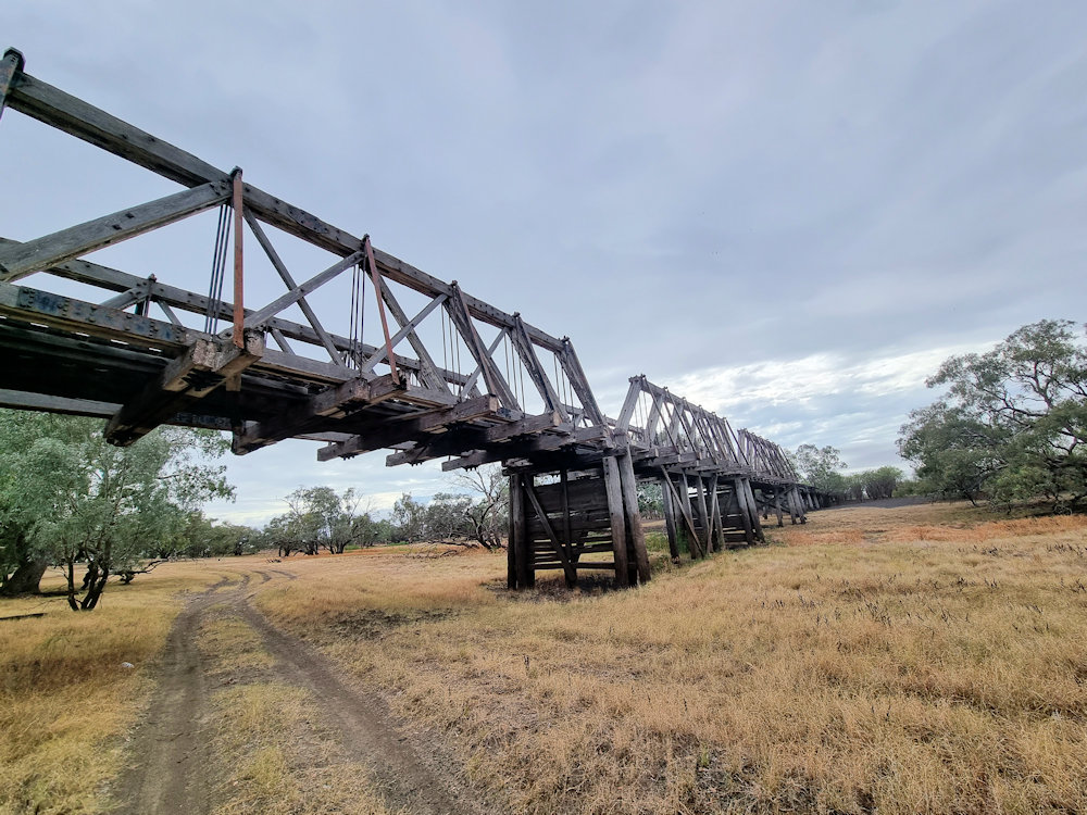
Find out about 7 things to see and do in Walgett, New South Wales Australia. Read more
-
Murray River Lock 4 at Berri in South Australia
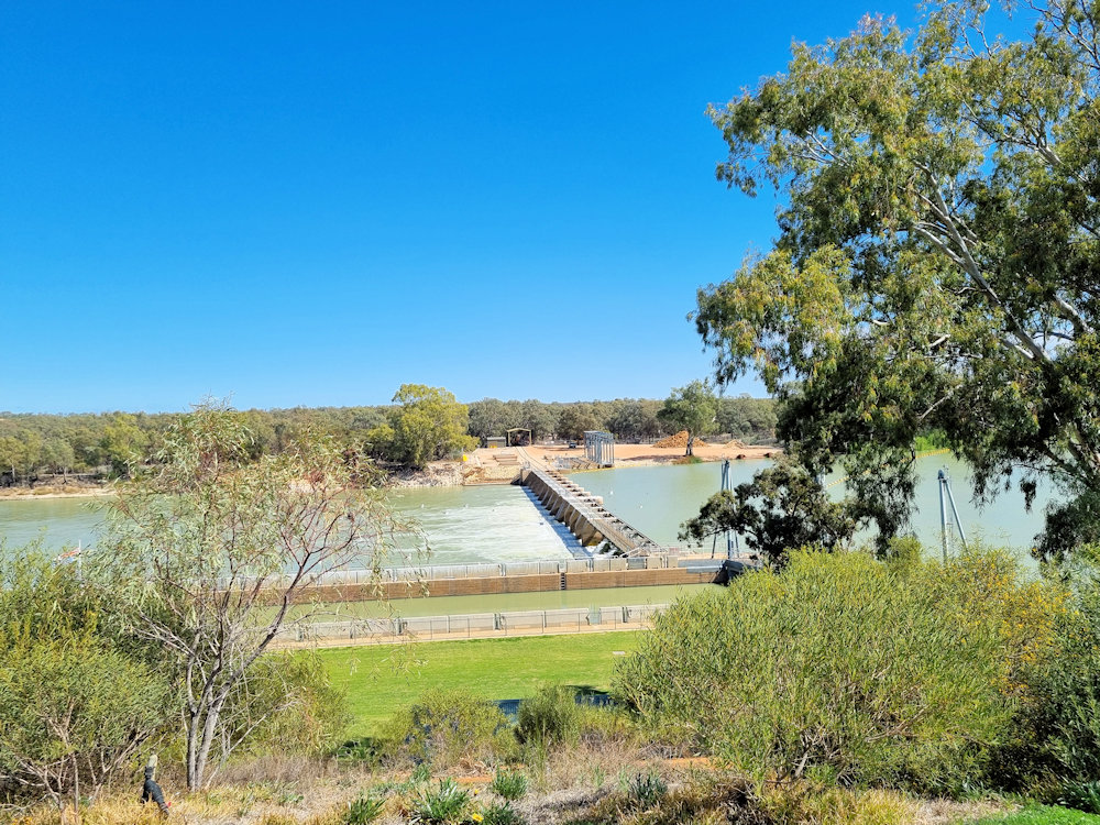
Murray River Lock 4 at Berri in South Australia Murray River Lock 4 is located 10 minutes drive south of Berri in South Australia, is one of the sixteen locks and weirs built along the Murray to regulate water levels and aid navigation. Construction began in 1928 and finished in 1929, forming part of a… Read more
-
Waikerie Rotary Cliff Top Walk
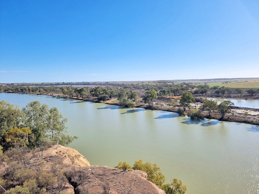
Waikerie Rotary Cliff Top Walk The Waikerie Rotary Cliff Top Walk is a wonderful and accessible trail located in Waikerie, in South Australia’s scenic Riverland region. Stretching roughly 1.8 to 2 kilometres one-way (around 3.5 km return) along the top of limestone cliffs above the Murray River, it offers dramatic views, local history and artworks. Trail… Read more