Category: Ruin
Ruin
-
Broken Hill New South Wales
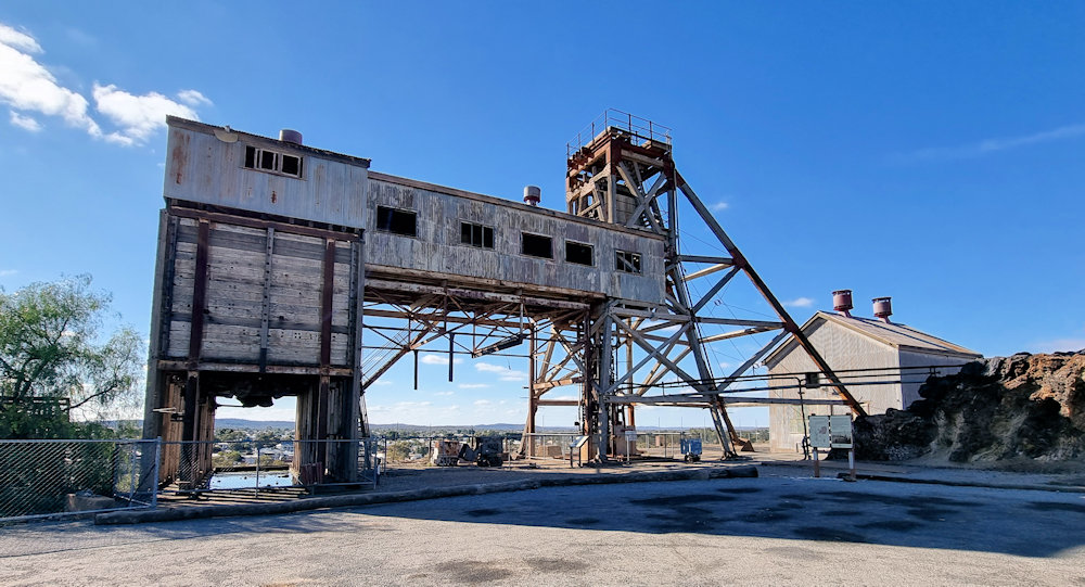
Broken Hill New South Wales Broken Hill, located in the far west of New South Wales, is one of Australia’s most iconic mining cities. Known as the “Silver City,” it is surrounded by vast outback landscapes and has played a central role in the nation’s economic and industrial development. Established in the 1880s following the… Read more
-
Joadja Heritage Site New South Wales
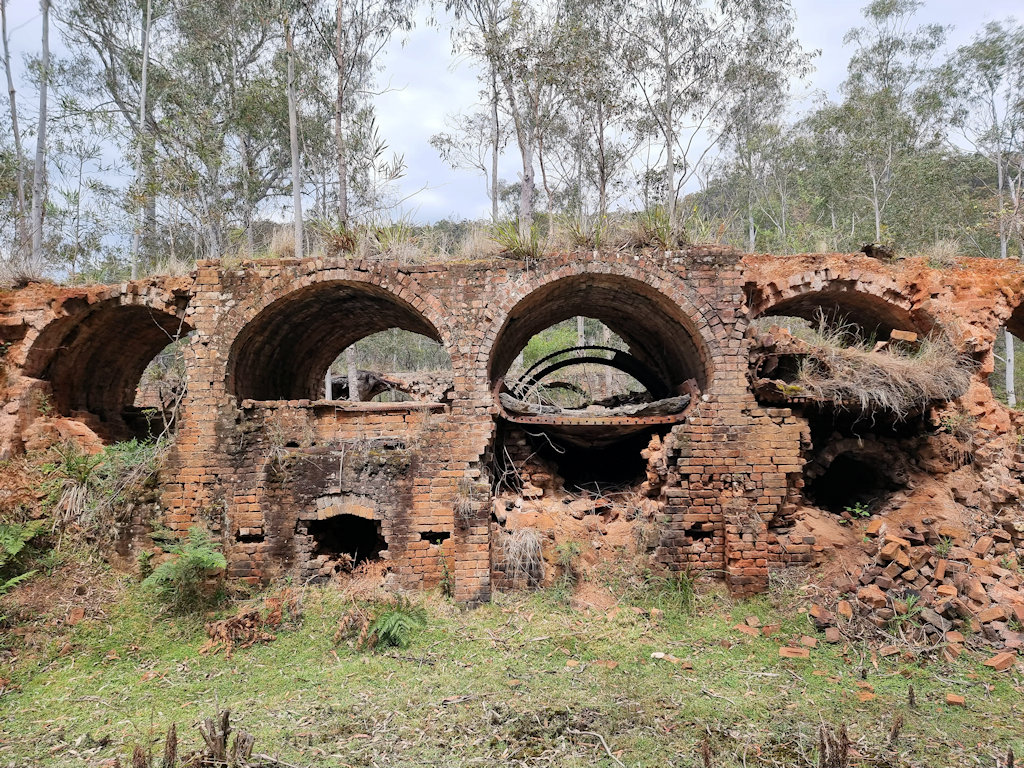
Joadja Heritage Site Origins and Industrial Development Joadja lies in a secluded valley in the Southern Highlands of New South Wales, and its origins date to the beginning of Australia’s industrial growth. Although the area had seen scattered activity earlier, substantial development began when the Australian Kerosene Oil and Mineral Company recognised the shale deposits… Read more
-
Burra South Australia
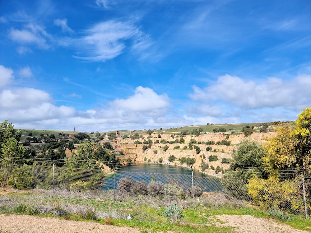
Burra South Australia Burra, South Australia located about 160 kilometres north of Adelaide, is one of the state’s most historically significant towns. Set in the rolling hills and open landscapes of the Mid North, it is best known as the site of one of the world’s great 19th-century copper mining ventures. The town preserves an… Read more