Tag: beach
-
Pulpit Rock NSW South Coast
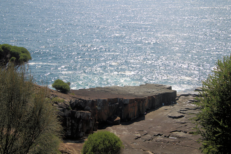
Located in Beowa National Park on the New South Wales Sapphire Coast, Pulpit Rock is a rock platform popular for rock fishing and site seeing. Beowa contains many stunning rock formations, inlets and headlands because of extensive geological folding. Beowa’s Geology Most of the park lies on red, brown and green shales, sandstones, siltstones and… Read more
-
Aslings Beach Rock Pool
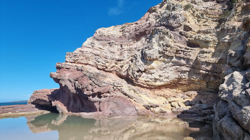
Located in the beautiful New South Wales town of Eden, Aslings Beach Rock Pool is situated next to spectacular white and pink cliffs. Built in 1961, it measures twenty-five by twenty metres in size and was originally around 1.3 metres deep when constructed, although sand build-up has impacted on this. Getting There Eden is 470km,… Read more
-
Wallagoot Gap New South Wales
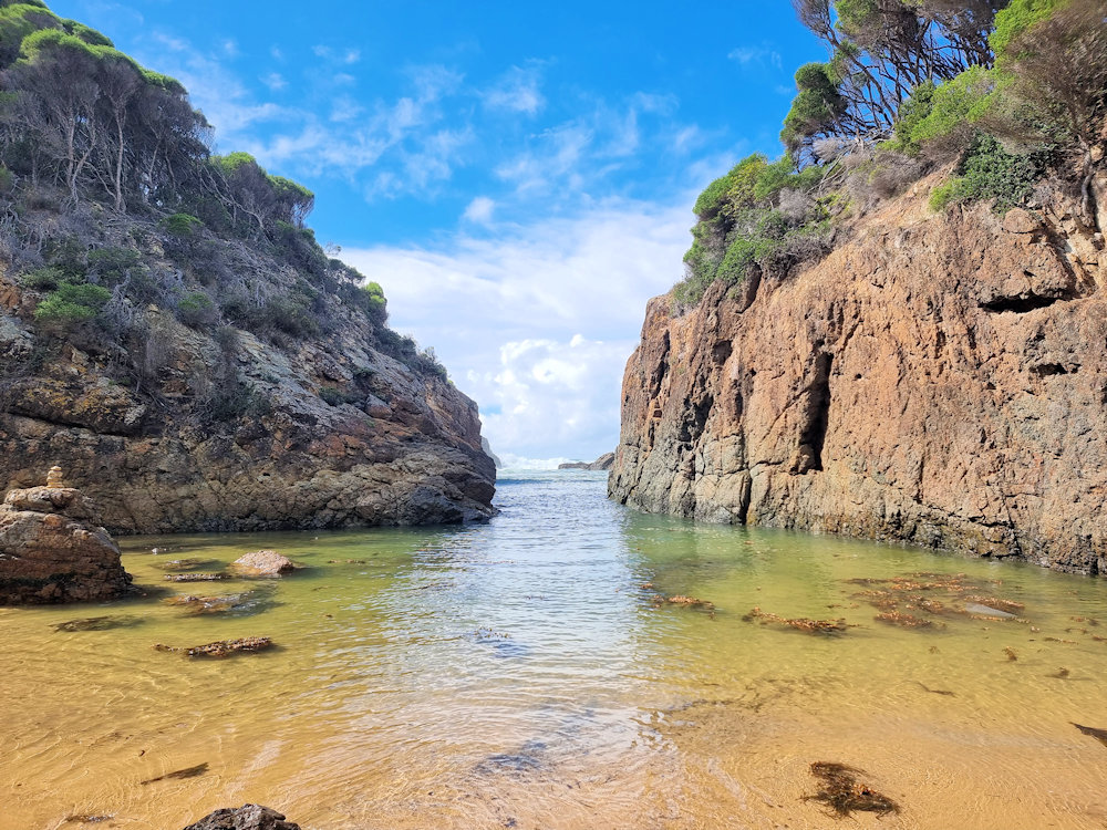
Located on the New South Wales far south coast in the Bournda National Park, Wallagoot Gap is an amazing geological feature and great beach. Only a 20-minute drive north of Merimbulah it’s a great place to visit. Not only does it have a great little secluded beach, but it also has a spectacular 20m wide… Read more