Tag: Lake
-
Budgewoi Footbridge Dunkey Island NSW Australia
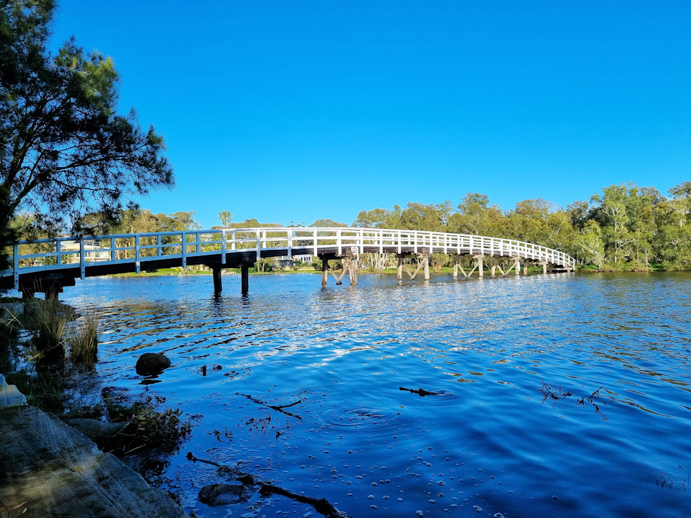
Budgewoi Footbridge To Dunkey Island NSW Australia Crossing the Budgewoi Channel, the Budgewoi Footbridge takes visitors from Mackenzie Reserve to Dunkey Island. Interestingly, this island is not natural, as it was created by dredging the channel to improve water flow for the nearby Munmorah Power Station. How to Get There Located 90 minutes north of… Read more
-
Berrima New South Wales
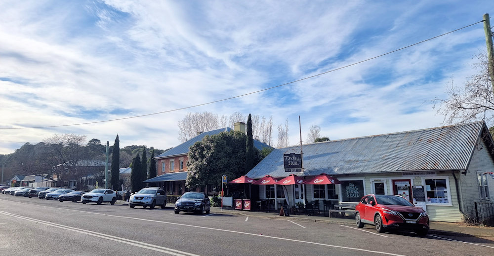
Berrima New South Wales Located in the Southern Highlands of New South Wales, Berrima is an historic town with many convict era buildings still intact. now bypassed by the Hume Highway, it has shrunk from its height of the mid 1800s when it had 14 pubs. It does however claim to have the longest continually… Read more
-
Tumut New South Wales Australia
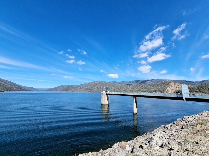
History of Tumut Tumut is a historic town in the Riverina region of New South Wales, nestled at the foothills of the Snowy Mountains. Originally inhabited by the Wiradjuri people, Tumut’s European history began in the early 19th century, with settlement beginning around the 1830s. Its name is derived from an Aboriginal word thought to… Read more