Waikerie Rotary Cliff Top Walk
The Waikerie Rotary Cliff Top Walk is a wonderful and accessible trail located in Waikerie, in South Australia’s scenic Riverland region. Stretching roughly 1.8 to 2 kilometres one-way (around 3.5 km return) along the top of limestone cliffs above the Murray River, it offers dramatic views, local history and artworks.
Trail Overview
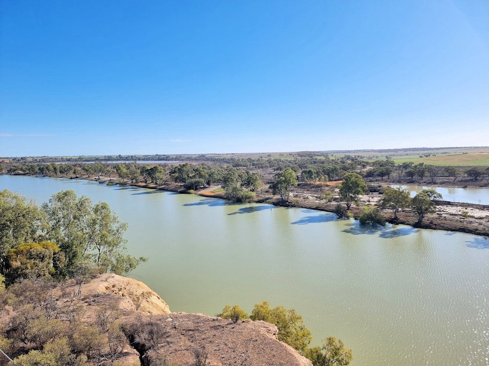
The walk begins near the riverfront of Waikerie, by the ferry crossing, and then proceeds eastwards through the pumping station grounds and up to the lookout area. Here, you will find an elevated platform with excellent views along the Murray. From there it continues along the cliff-top ridge, offering panoramic views of the river system, floodplain, wetlands, and the meandering river course. The terrain is undulating but generally easy, making it suitable for many walkers.
Developed by the local Rotary Club of Waikerie (to mark the town’s centenary in 1994) and continually maintained with grants and volunteer effort, it now features artworks along the way — metal sculptures, murals (including a kookaburra motif) and interpretive signage. The route chosen follows, in part, the old “Cliff Top Track” which settlers used in 1894 to travel between the settlements of Holder and Waikerie.
What to Expect
Car-parking and access are straightforward, and the trail is free to enjoy. There are several viewpoints and rest areas along the route. However, if you don’t want to walk the track, but want the views, parking is available near the lookout. Otherwise another lookout near the silo art provides parking spots.
Along the trail you’ll spot a selfie-chair with ‘Murray’ the metal figure and the backdrop of the silo artwork.
Several points along the route offer seats or benches where you can stop, rest and soak in the view.


Leave a Reply