Category: Accommodation
-
Wineglass Bay Freycinet Peninsula Tasmania
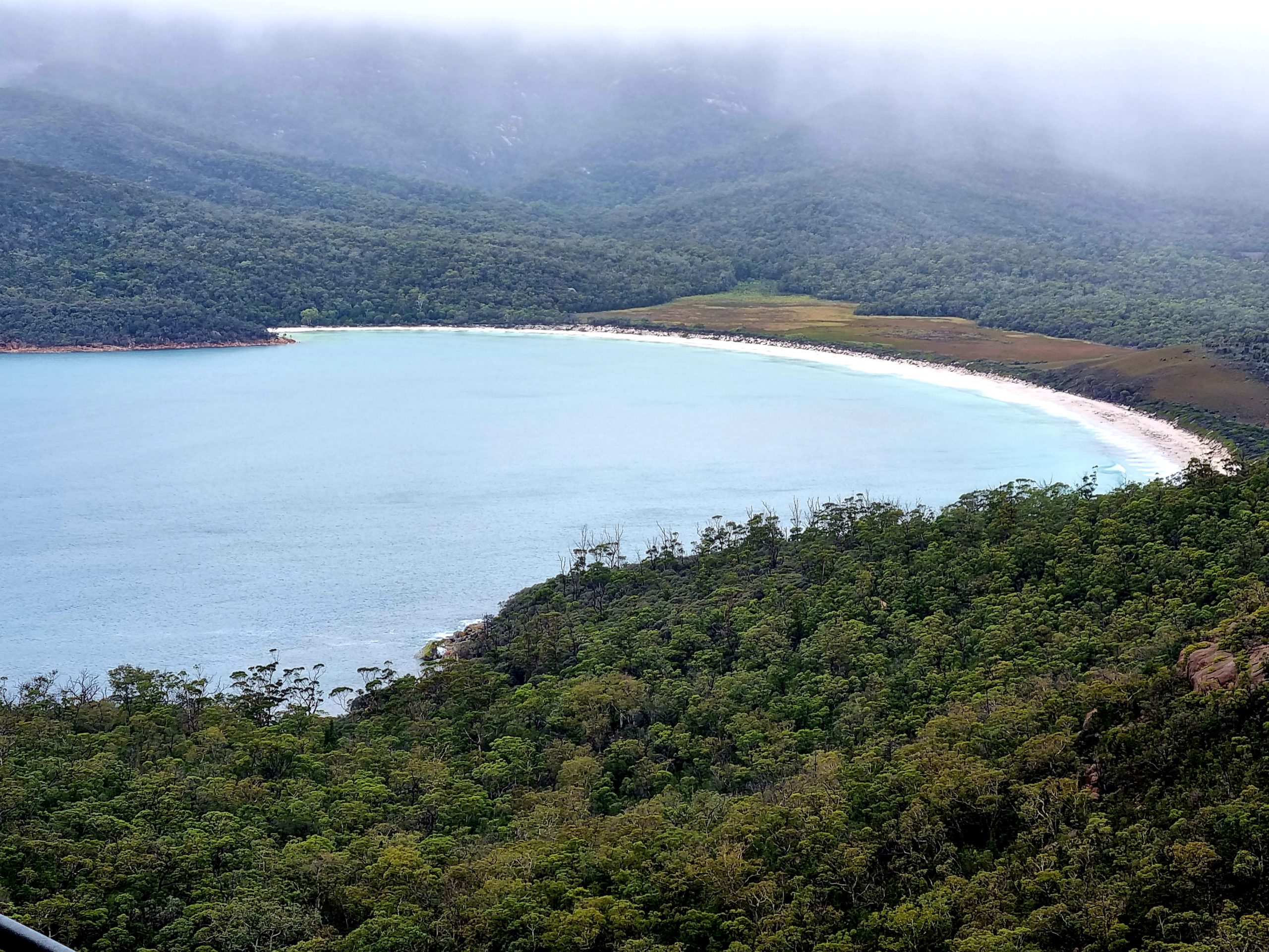
Wineglass Bay One of Tasmania’s most popular destinations, Wineglass Bay was our first stop on a recent holiday to the Apple Isle. Arriving at Coles Bay early in the evening, we stayed two nights in Coles Bay, giving ourselves the whole of the next day to explore. Access to the Freycinet National Park is by… Read more
-
Newnes Industrial Ruins and Bushwalking
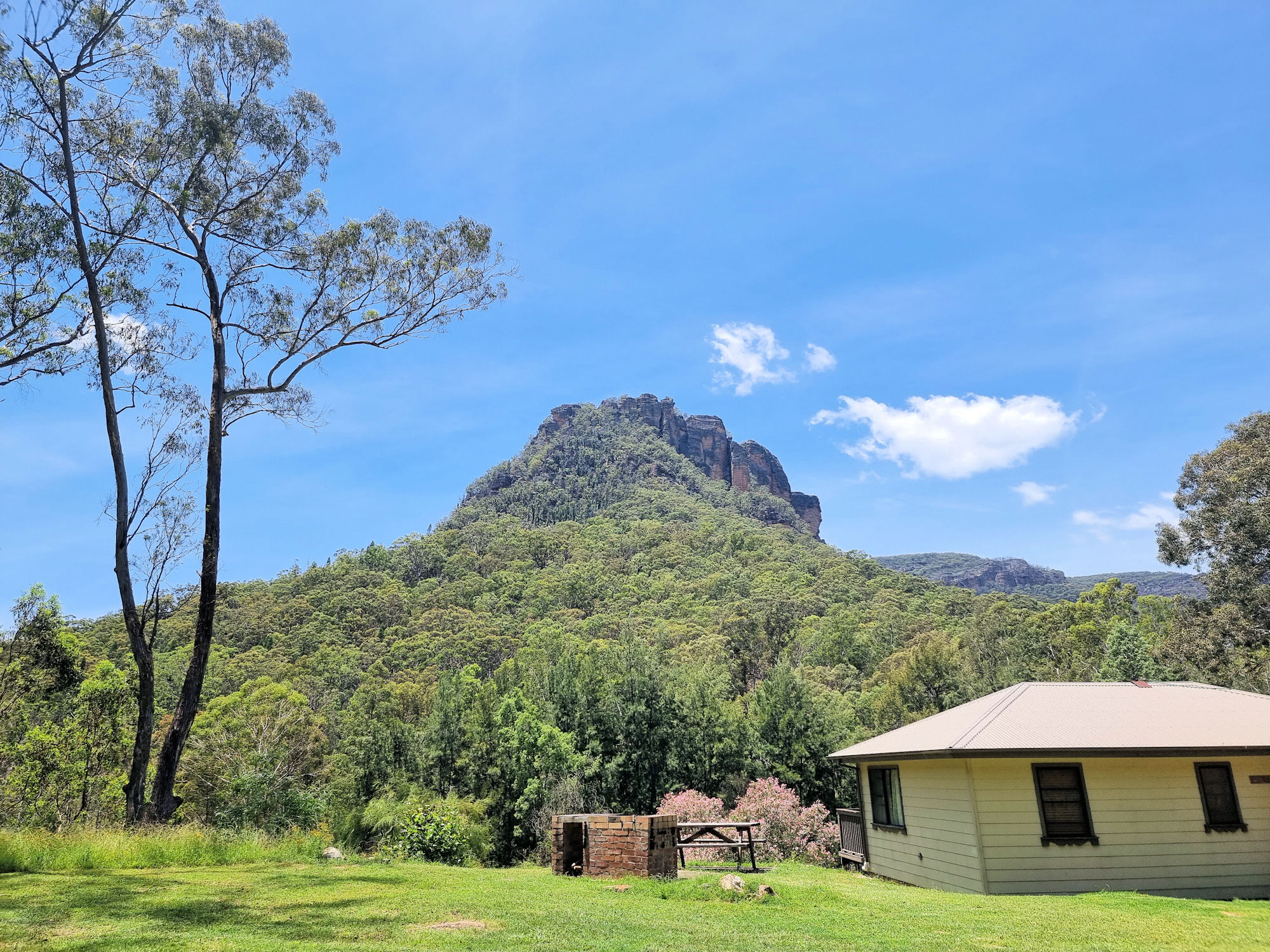
Newnes Industrial Ruins Located in the Wollemi National Park the Newnes Industrial Ruins is a heritage listed collection of decaying ruins of a once thriving shale oil processing plant. Established in 1902 and closed in 1932 due to the availability of cheaper crude oil, all that remain are decaying buildings and processing plant. The area… Read more
-
Fantastic Bruny Island Tasmania
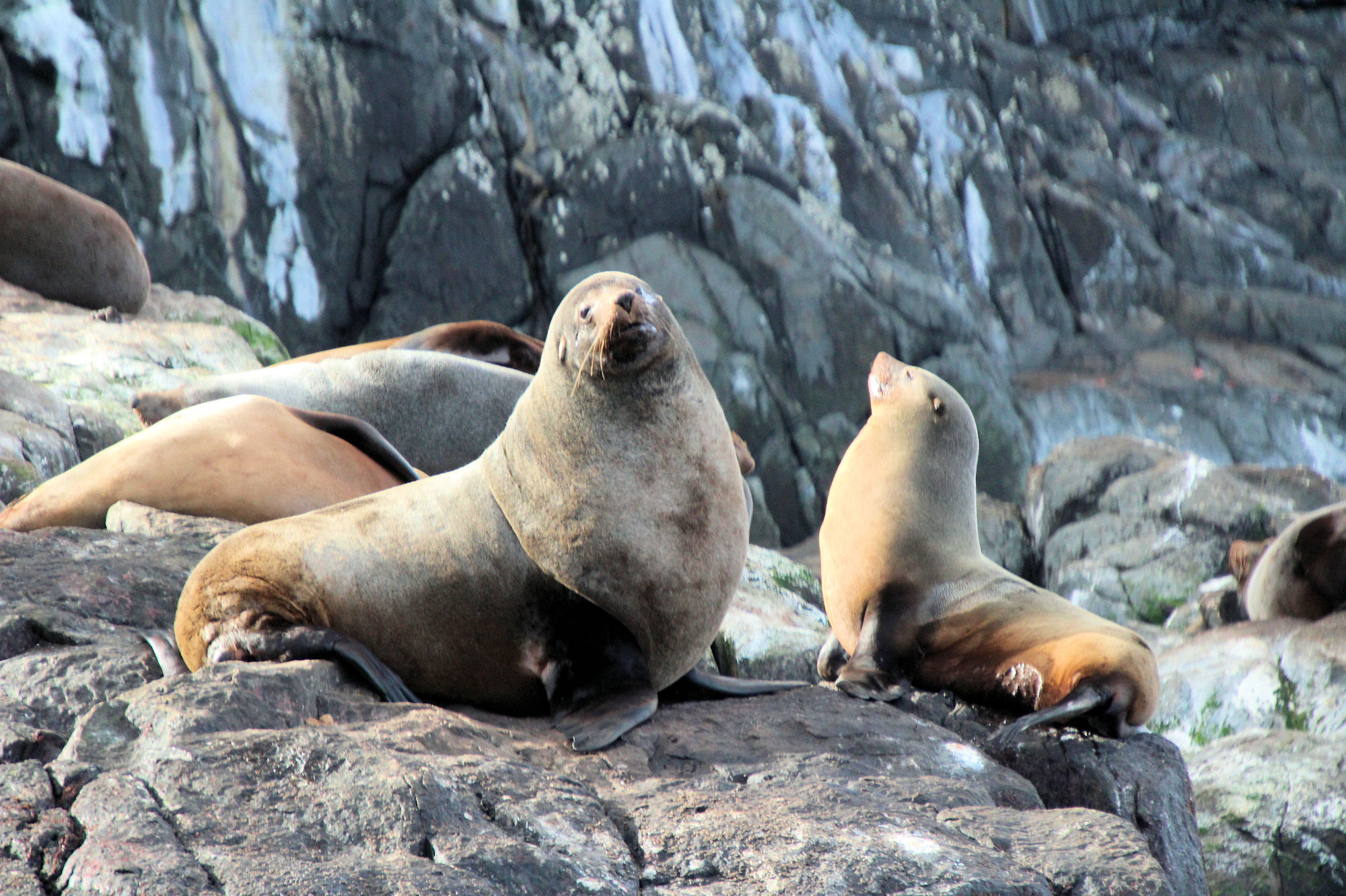
Bruny Island At 50kms long, Bruny Island has farms, food, forests, wildlife, beaches, and history, all within an easy drive. We spent two nights and two full days on the island and could have spent more because there’s so much to see and do. How to Get There Cape Queen Elizabeth Track The Neck Lookout… Read more