Category: National Park
-
Elvina Aboriginal Engraving Site
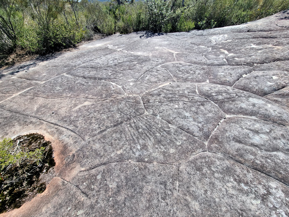
Elvina Aboriginal Engraving Site The Elvina Aboriginal Engraving Site is one of the most significant cultural heritage locations within Ku-ring-gai Chase National Park, north of Sydney. It provides a glimpse into the lives, beliefs, and traditions of the Guringai (Kuringgai) people, the traditional custodians of this area, who created extensive rock engravings across the sandstone… Read more
-
West Head Army Track
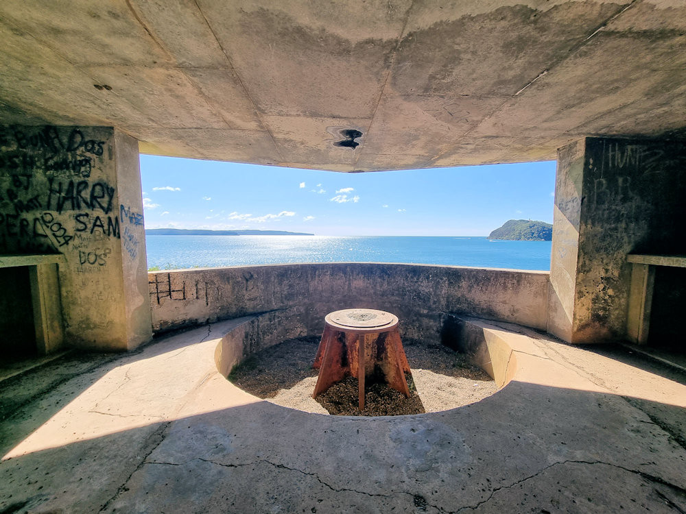
West Head Army Track The West Head Army Track is a short, steep one-way/return bushwalk in the West Head precinct of Ku-ring-gai Chase National Park. It drops from the West Head lookout area down to the remains of a World War II coastal battery and gun emplacements perched on the headland above Broken Bay and… Read more
-
Living Desert Sculptures Broken Hill
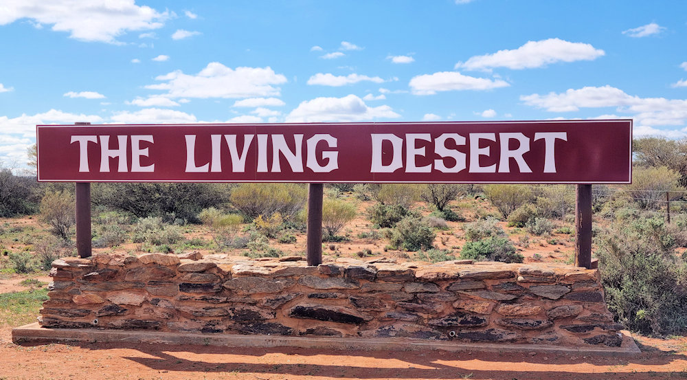
Living Desert Sculptures Broken Hill The Living Desert sculptures are a group of 12 large sandstone works on Sundown (Sculpture) Hill inside the Living Desert Reserve north of Broken Hill in New South Wales, Australia. They were created as the result of a month-long sculpture symposium held in 1993 to add a permanent outdoor sculpture… Read more