Category: Nature
-
Mount Oberon Summit Walk
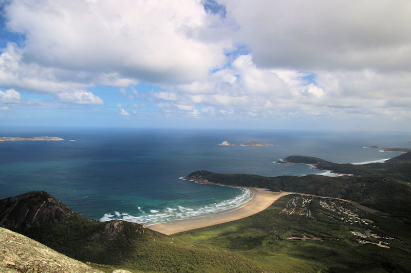
Nestled within the stunning Wilsons Promontory National Park in Victoria, Australia, the Mount Oberon Summit Walk is an iconic hiking trail that offers visitors unparalleled views of the coastline and surrounding landscapes. Getting There The Mount Oberon Summit Walk begins at the Telegraph Saddle car park, which is a short drive from Tidal River, the… Read more
-
Buchanan-Rolfe Boardwalk Batemans Bay
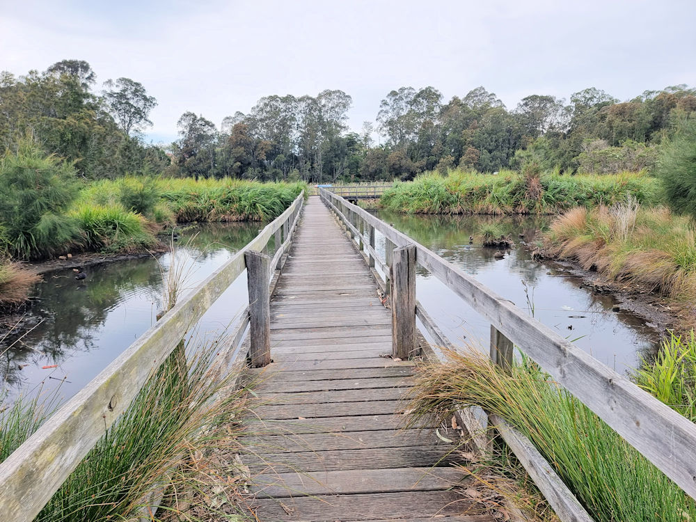
Buchanan-Rolfe Boardwalk Batemans Bay The Buchanan-Rolfe Boardwalk is short easy walk located next to the Batemans Bay Heritage Museum, making it easy to find. Parking is available outside the museum, which is in the centre of Batemans Bay. If you’re exploring the south coast of New South ales, this is a relaxing way to finish… Read more
-
Pulpit Rock NSW South Coast
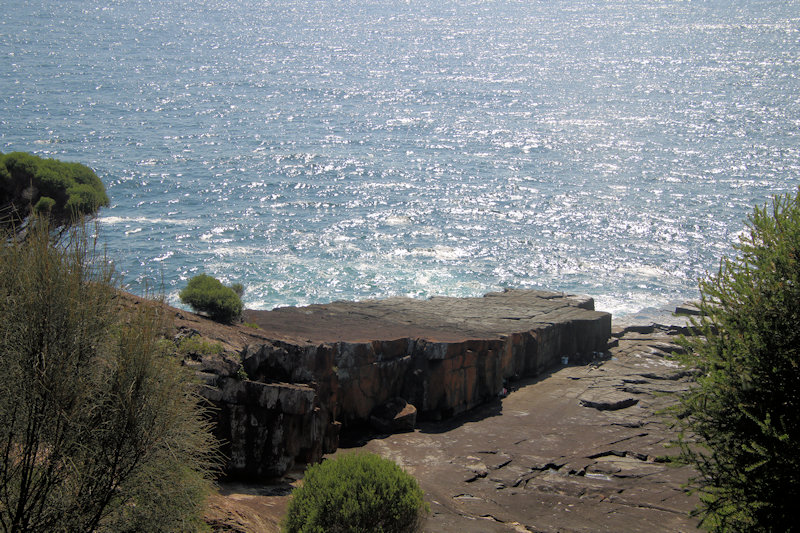
Located in Beowa National Park on the New South Wales Sapphire Coast, Pulpit Rock is a rock platform popular for rock fishing and site seeing. Beowa contains many stunning rock formations, inlets and headlands because of extensive geological folding. Beowa’s Geology Most of the park lies on red, brown and green shales, sandstones, siltstones and… Read more