Category: Geology
-
Burra South Australia
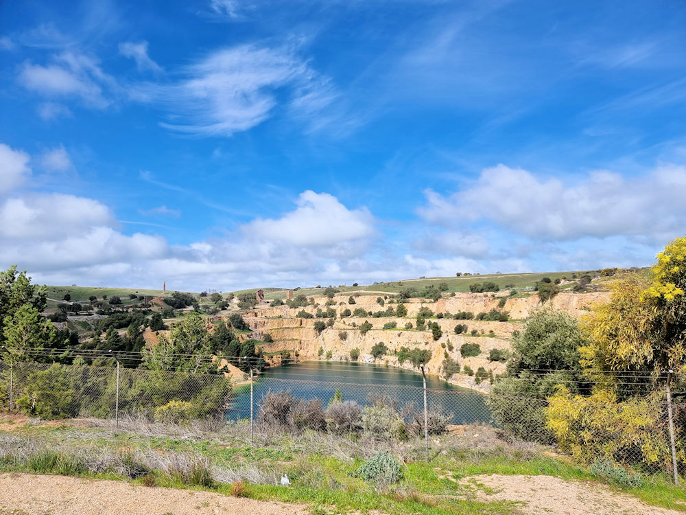
Burra South Australia Burra, South Australia located about 160 kilometres north of Adelaide, is one of the state’s most historically significant towns. Set in the rolling hills and open landscapes of the Mid North, it is best known as the site of one of the world’s great 19th-century copper mining ventures. The town preserves an… Read more
-
Burra Heritage Passport
Burra Heritage Passport Available at the Burra Visitor Centre, the Burra Heritage Pass is an excellent way to explore the town’s history. Not only does it provide a list and map of locations and buildings to visit, but has a key to allow access to sites otherwise not accessible. The key requires a deposit which… Read more
-
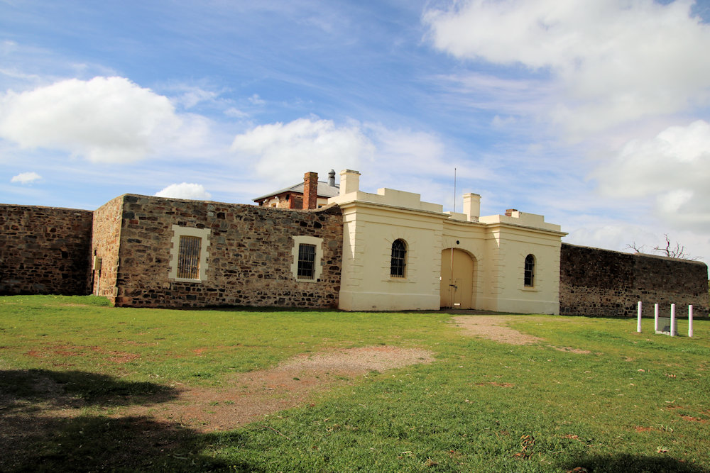
Bon Accord Mine Museum Burra

Bon Accord Mine Museum Burra The Bon Accord Mine Museum in Burra, South Australia, is a heritage attraction that offers visitors a window into the working and social life of one of the town’s historic mining sites. While the nearby Burra Mine is better known, the Bon Accord site preserves a smaller but equally important… Read more