Tag: Bridge
-
7 Interesting Things to See in Walgett NSW
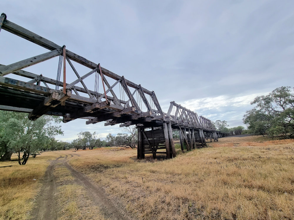
Find out about 7 things to see and do in Walgett, New South Wales Australia. Read more
-
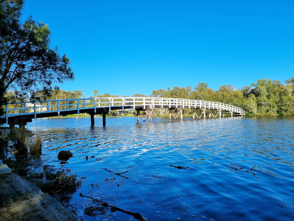
Ben Scott Swing Bridge Balranald New South Wales Australia
The Ben Scott Swing Bridge in Balranald, New South Wales, crosses the Murrumbidgee River and links the town to its riverside trails. The bridge is named after Ben Scott, a respected local council member whose dedication to Balranald’s development and environmental care earned deep respect. Balranald’s history has always revolved around the Murrumbidgee. Early settlers… Read more
-
Budgewoi Footbridge Dunkey Island NSW Australia
Budgewoi Footbridge To Dunkey Island NSW Australia Crossing the Budgewoi Channel, the Budgewoi Footbridge takes visitors from Mackenzie Reserve to Dunkey Island. Interestingly, this island is not natural, as it was created by dredging the channel to improve water flow for the nearby Munmorah Power Station. How to Get There Located 90 minutes north of… Read more