Tag: Bush Walk
-
Edward Hunter Heritage Bush Reserve Moe Victoria
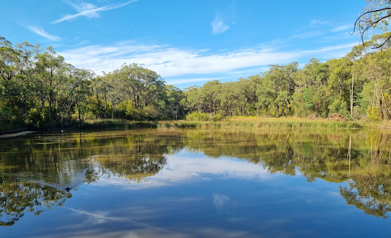
Edward Hunter Heritage Bush Reserve Edward Hunter Heritage Bush Reserve is a 58 hectare bushland park located in Moe, Gippsland, about 140km east of Melbourne in Victoria. The reserve serves as one of the largest patches of native remnant vegetation in the foothills of the Strzelecki Ranges in the Latrobe Valley. It is managed by… Read more
-
Carradah Park Sydney Australia

Carradah Park Sydney Australia History of the Site The BP refinery at Carradah Park in Waverton has a rich history that dates back several decades. Here is a brief overview of its historical significance: The refinery was established in 1926 by the Anglo-Persian Oil Company, which later became British Petroleum (BP). Its location in Waverton,… Read more
-
Balls Head Reserve Sydney Australia

Balls Head Reserve Sydney Australia Located on the northern side of Sydney Harbour, Balls Head Reserve is a scenic reserve offering breathtaking views of the harbour city and bridge. Winding tracks through regenerated native bushland let you experience the Australian bush without leaving Sydney. History The reserve was named after Henry Lidgbird Ball, who was… Read more