AdBlock Detected

It looks like you're using an ad-blocker!

Our team work realy hard to produce quality content on this website and we noticed you have ad-blocking enabled.

Wisemans Ferry and the Great North Road

The Quarry Site on the Great North Road

Wisemans Ferry

Located on the New South Wales Central Coast and North of Sydney, Wisemans Ferry is a historic town connected to the Great North Road.

Hawkins Lookout Wisemans Ferry

Travelling north from Sydney, the road passes through some wonderful scenery with very tight windy roads in places. Just outside Wisemans Ferry is Hawkins Lookout which provides great views over the mountains and the Hawkesbury River. We made a quick stop here to admire the views before continuing on to the town.

Convict Trail Memorial

Near the ferry landing is a carpark with a cafe and memorial site. The memorial commemorates the building of the Great North Road and the ferry crossing. We relaxed here for a while with a snack and coffee after the drive, before boarding the ferry.

The Ferry

The ferry master will direct you when it is safe to drive on board and park in the marked spaces. Once parked, turn off your engine and enjoy the short ride to the other side. Use of the ferry is free, so no payment is necessary.

The Great North Road

The entrance to the Great North road is to the left of the ferry crossing. There is only limited parking available, with no dedicated car park. In busy times this will be a problem and you may need to walk some distance to get there.

The Great North Road was built by convict labour between 1825 and 1836 to link Sydney to Newcastle and the Hunter Valley.

Information Boards

Information boards, convict silhouettes and examples of tools, provide context for what you are looking at. This enables a greater understanding of what the convicts endured because you can visualise them working on the road or in the stone quarry.

The Road

The road surface is well maintained and although it goes uphill is not a difficult walk if you take it slowly. Remember to take water, use sunscreen, and wear a hat, because there is not much shade.

The dry stonewall buttresses on the downhill side of the road are of excellent workmanship, especially when you consider the conditions the convicts were working in.

Sites Along the Way

Along the walk, there are several sites of interest. The first is the remains of a large quarry, where stone was quarried for use in the road. Tools on display here show how primitive the work was and how difficult it would have been.

The second spot is called Hangman’s Rock, although is doubtful if this is what it was used for. Steps are cut into the rock, enabling you to climb up for a better look.

What Did We Think?

We stopped at Hangman’s Rock and returned to our car, although you can continue to Finches Line Walking Track which will bring you out south of the Ferry crossing. This is a part of Australia’s colonial history and it is great that the site has been preserved and presented so well for visitors. This part of the Great North Road is only a short walk, but lets you see some important historical sites. We enjoyed the walk and the history on display.

If you are interested in the Great North Road, read our post on the northern section.

Our photos are available for purchase on

To see what else there is to do in New South Wales, please see some of our other stories.

Great North Road Convict Trail

Convict Trail Marker Great North Road Convict Trail

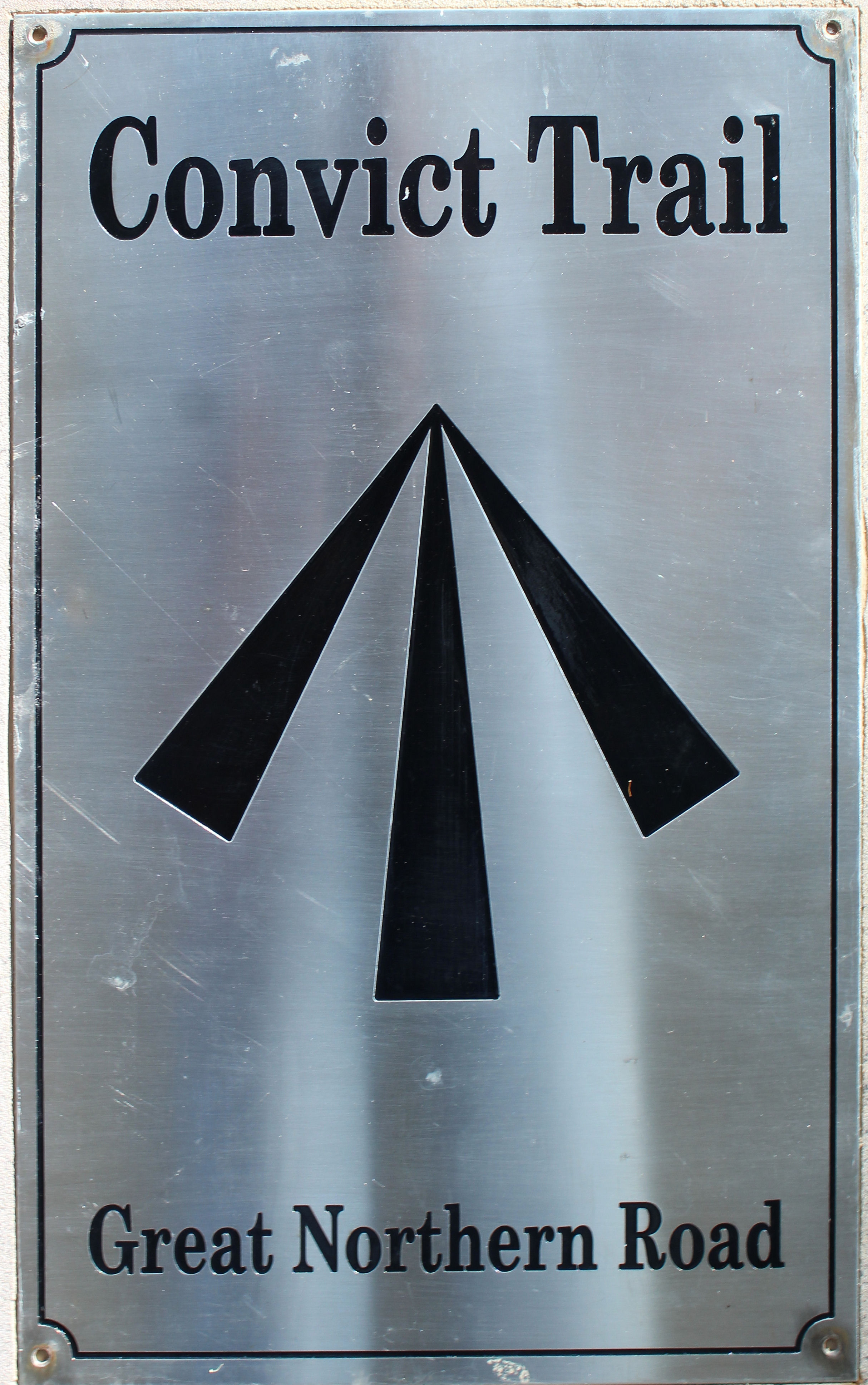
Built between 1826 and 1834 by convict labour the Great North Road was one of the first great projects undertaken by the colony of New South Wales. It was built to connect Sydney with Newcastle and the Upper Hunter Valley. Some of the stonework for culverts, buttresses and bridges can still be seen today.

Getting To the Great North Road

We drove down part of the northern section from Singleton as far as the Circuit Flat Walking Track Bridge. The total driving time, one way was about 90 minutes, but took much longer with stops to examine remnants of the road.

As well as the road, the scenery is great, and you drive through some historic towns, such as Wollombi.

Great North Road Map Convict Trail
Great North Road Map

Thompson’s Bridge

Flanked by a stone retaining wall, Thompson’s Bridge is about 15 km south of Laguna. The stone walls on each side are course rubble work which is not like the other stonework in this area, which is mostly close fitting dry stone construction. This has led to debate as to whether this is original or later work.

Murray’s Run Culvert

Murray’s Run Culvert is one kilometre south of Thompson’s Bridge. This culvert has an elaborate decorative arch that supports the retaining wall above. A sign post helps you find this culvert, but the obvious old road off to the side is easy to spot.

Fernances Culvert

Fernances Crossing culvert is just beside the present road and located about seven kilometres north of the original Buckety intersection. We found it to be well sign posted and easy to find. Parking off the road is available. Constructed in 1830 by Road Party 27 it consists of a curved stone retaining wall with a rectangular culvert that carried the road across a small gully.

Buckety Precinct

The Buckety Precinct was the largest of the Great North Road relics that we visited.  Situated at the intersection of the Great North Road and George Downes Drive, the area is approximately 400m long. The Buckety Wall is a very nice preserved section of dry stone retaining wall and is the first thing you see when entering the area.  Walking up hill from here, is a large section of the original road surface, as constructed by the convicts.

St. Alban’s Road Ramp

This large retaining wall was the tallest that we saw on our trip.  Still used to support the current roadway the road ramp is worth the stop to admire.  There is a signpost marking the spot, but the wall is on the opposite side of the road, over the embankment.

Circuit Flat Bridge

The turn-off to get to Circuit Flat Bridge is sign posted as Mt Manning Intersection.  If you follow this track for about 3 kilometers in your car,  you will arrive at the remains of the bridge. We chose to drive further down Wollombi Road to the Mogo Camp Ground.  From here there is a nice three kilometer walk to the bridge, which took us about 45 minutes, with a further 30 minutes to walk back via the road.

Wollombi

We stopped at Wollombi on our way home for afternoon tea.  There are several cafes and restaurants in the village as well as the famous Wollomi Tavern.

After a refuelling stop, we walked around the village and admired the old buildings, notably St Michael’s Church and the buildings along the main street.

Sights Along the Road

As you drive along there are some great sights on the side of the road.  One of the best was this rhinoceros sculpture just outside Wollombi.

We really enjoyed our day out along the Great North Road, following the Convict Trail.  As well as doing some bush walking and learning some convict history, we were able to see some historical buildings all in a very picturesque setting.

To see what else there is to do in New South Wales, please see some of our other stories.