Tag: Ruins
-
Joadja Heritage Site New South Wales
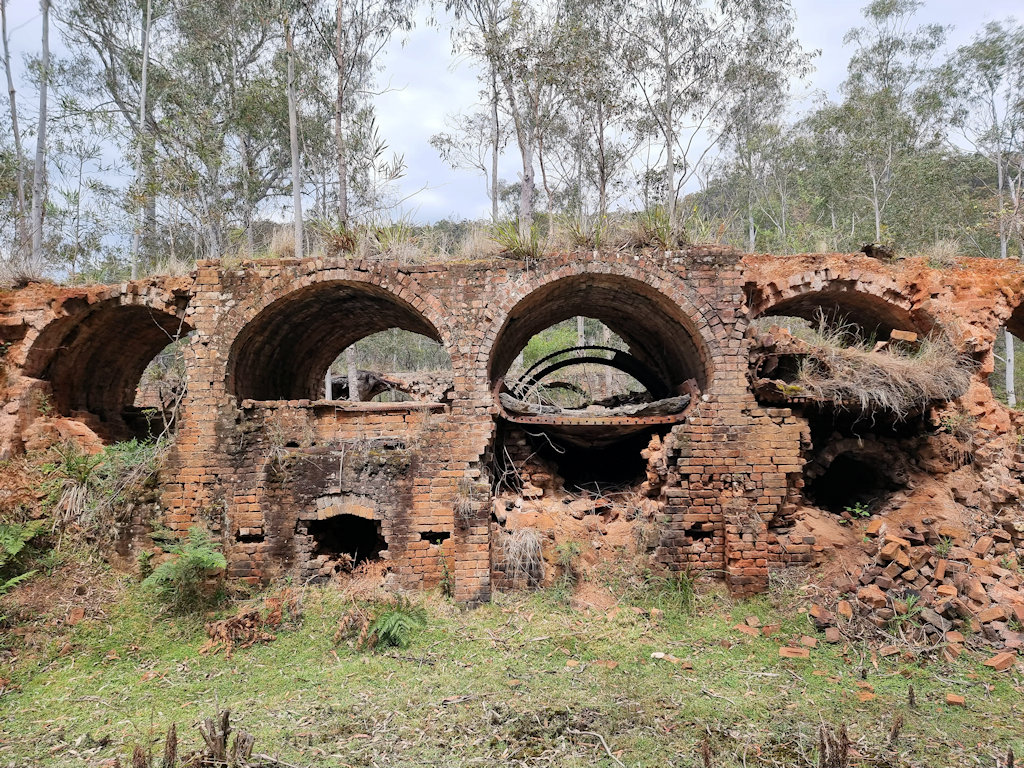
Joadja Heritage Site Origins and Industrial Development Joadja lies in a secluded valley in the Southern Highlands of New South Wales, and its origins date to the beginning of Australia’s industrial growth. Although the area had seen scattered activity earlier, substantial development began when the Australian Kerosene Oil and Mineral Company recognised the shale deposits… Read more
-
Burra Heritage Passport
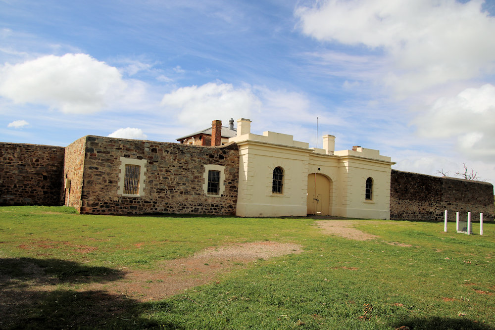
Burra Heritage Passport Available at the Burra Visitor Centre, the Burra Heritage Pass is an excellent way to explore the town’s history. Not only does it provide a list and map of locations and buildings to visit, but has a key to allow access to sites otherwise not accessible. The key requires a deposit which… Read more
-
Burra Mine South Australia
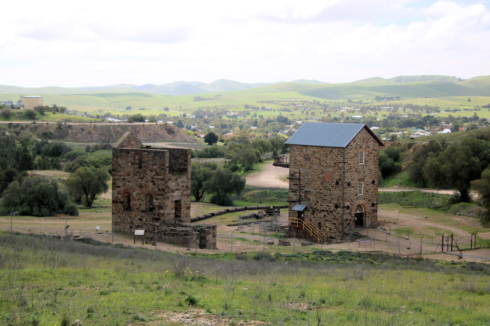
Burra Mine South Australia The Burra Mine, often referred to as the “Monster Mine,” is one of the most important historic mining sites in Australia. Situated at Burra in South Australia, it was once among the largest copper mines in the world and played a vital role in the economic survival of the fledgling colony… Read more