Tag: south coast
-
Boyds Tower Eden NSW
Originally built in the mid-19th century, Boyds Tower has become an iconic feature of the area, offering visitors a glimpse into the region’s maritime history and the ambitious pursuits of Benjamin Boyd. Boyds Tower Commissioned by Benjamin Boyd, a wealthy entrepreneur and adventurer who sought to establish a thriving whaling and shipping industry in the… Read more
-
Davidson Whaling Station Eden NSW
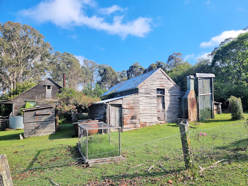
Located in Eden, New South Wales, Davidson Whaling Station, was one of the earliest shore-based whaling stations in Australia. Nestled on the rugged coastline of Twofold Bay, the station is a reminder of Australia’s whaling past. Getting There Davidson Whaling Station is located approximately 10 kilometres south of Eden, NSW. The site has a carpark… Read more
-
Green Cape Lighthouse NSW
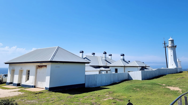
Getting There Access to the Green Cape Lighthouse is via a scenic drive through Beowa National Park, although the last stretch requires navigating an unsealed road. During our visit, the road was in excellent condition (March 2025) and was suitable for a 2-wheel drive vehicle. A carpark near the lighthouse provides plenty of parking. Before… Read more