Tag: Strickland State Forest
-
Stoney Creek Track Strickland State Forest
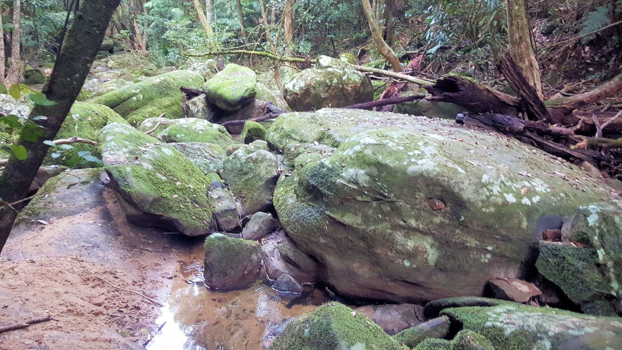
Stoney Creek Track Strickland State Forest Getting There Located in the Strickland State Forest, Stoney Creek Track is a great walk winding its way along Stoney Creek from the upper Banksia picnic area to the lower carpark. Banksia Picnic Area The track starts near the entrance to the Banksia Picnic Area, where a large car… Read more
-
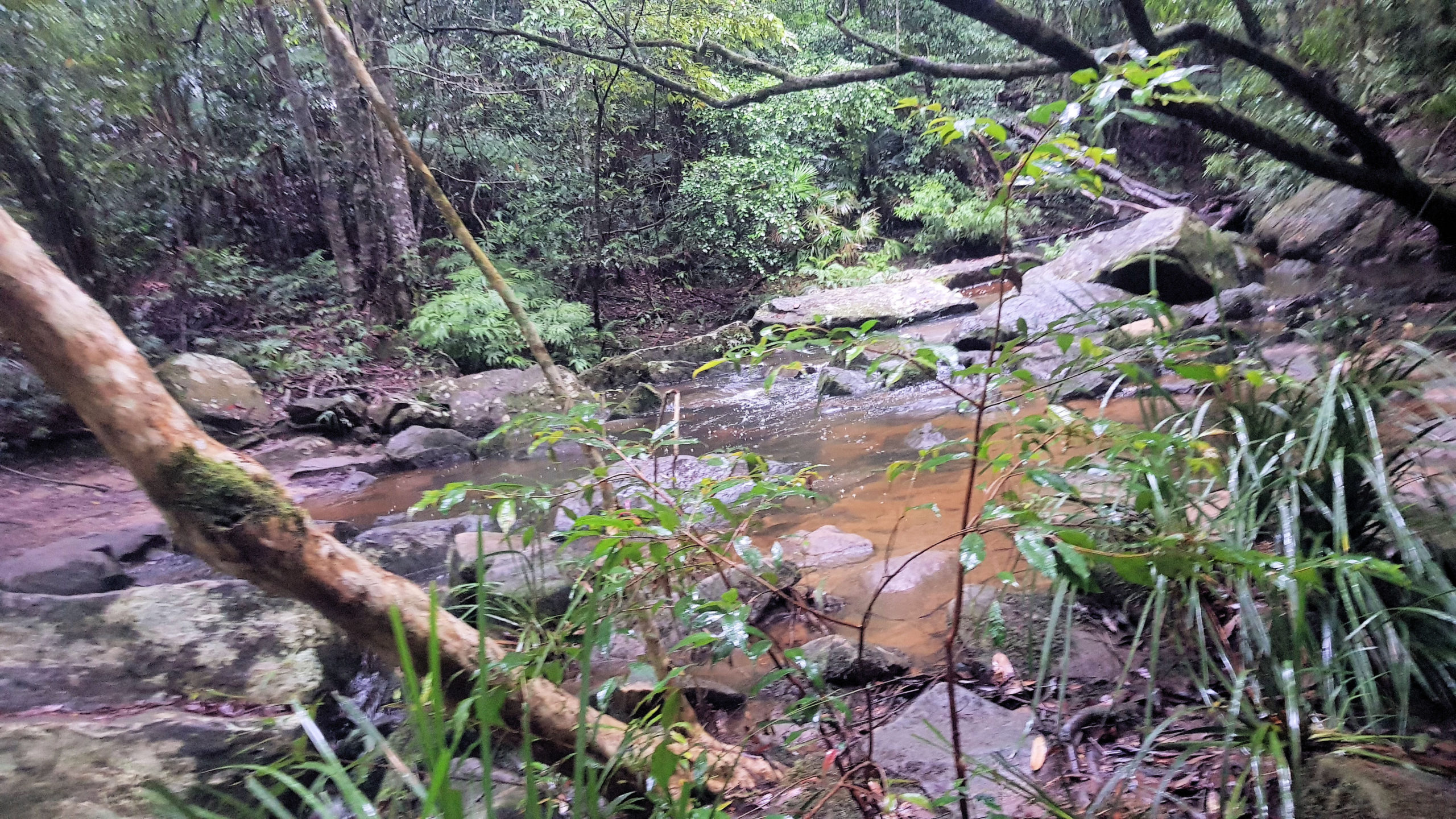
Ridge to Rainforest Track Strickland State Forest
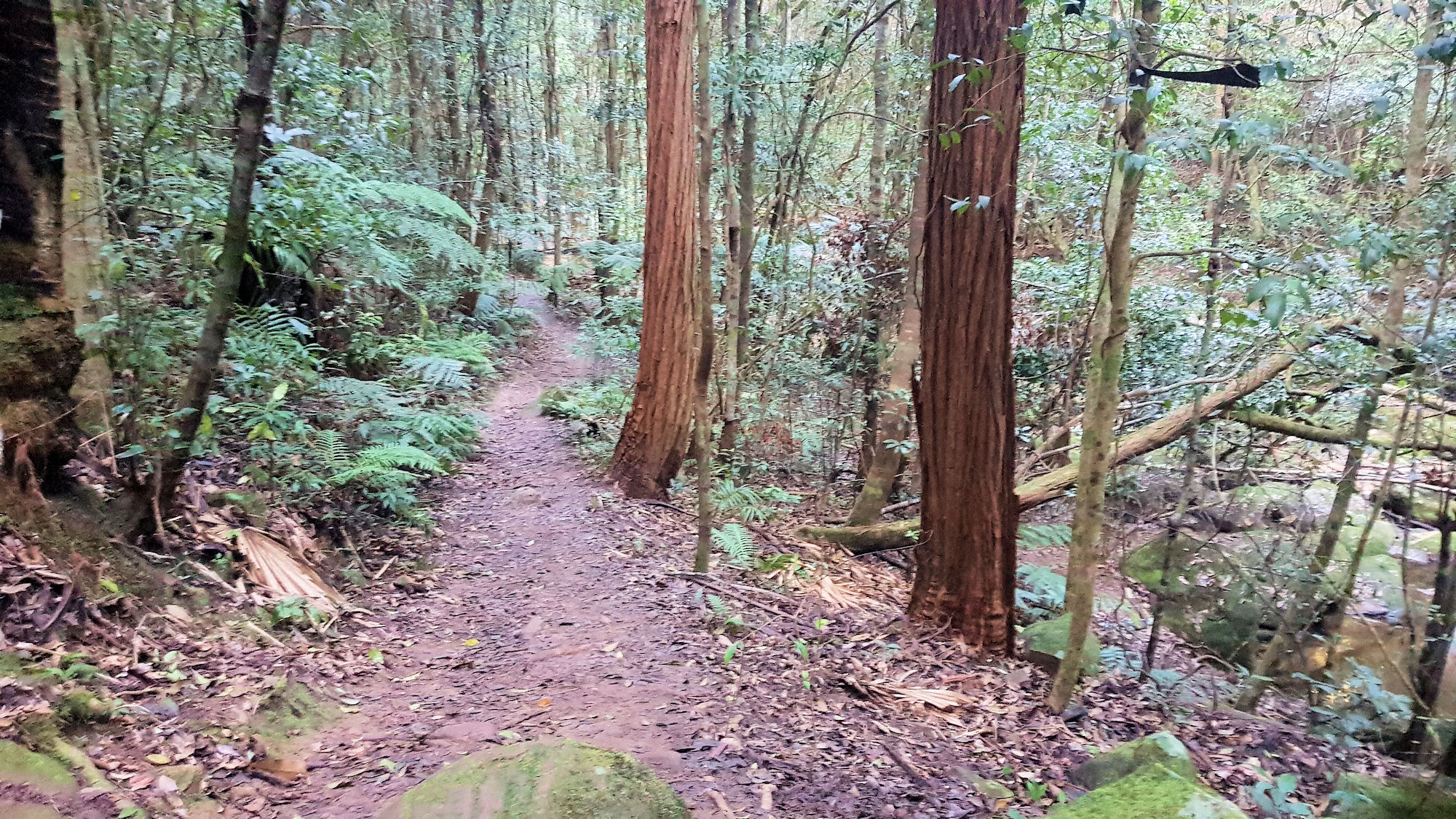
Ridge to Rainforest Track Strickland State Forest Getting There Located in the Strickland State Forest, the Ridge to Rainforest Track is a great walk winding its way through the dry forest along the ridge into the gully rainforest along the creek. Mossy rocks, statuesque trees and a planted grove of Hoop Pine are featured along… Read more
-
Arboretum and Bellbird Tracks in Strickland Forest
Strickland State Forest Two great walks located in the Strickland State Forest are the Arboretum and Bellbird Tracks. Located on the Central Coast of NSW, less than an hour’s drive north of Sydney, south of Newcastle, or a 10-minute drive west of Gosford, Strickland State Forest is a great place to visit. The forest is… Read more