Tag: trees
-
Australian Botanic Garden Mount Annan
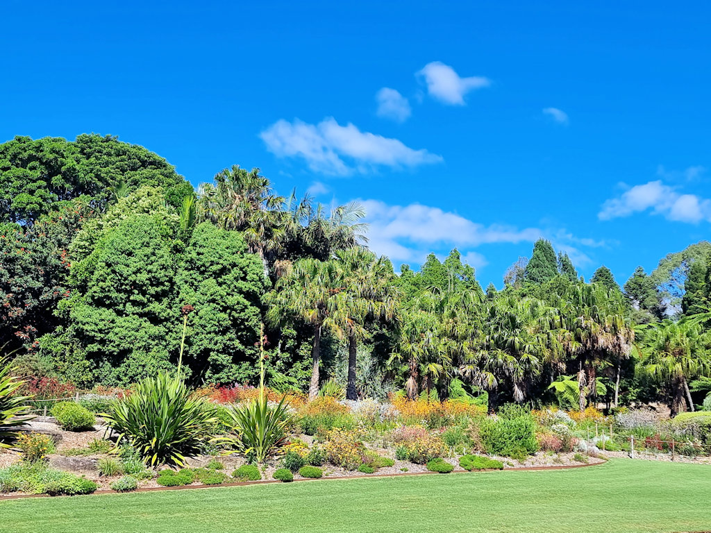
Australian Botanic Garden Mount Annan Located around an hour’s drive southwest of Sydney, the Australian Botanic Garden Mount Annan is a major centre for native plant conservation. Not only does the site support scientific goals but it is also designed for recreational use. Covering over 400 hectares, the gardens have extensive living collections of Australian… Read more
-
Sale Botanic Gardens Victoria
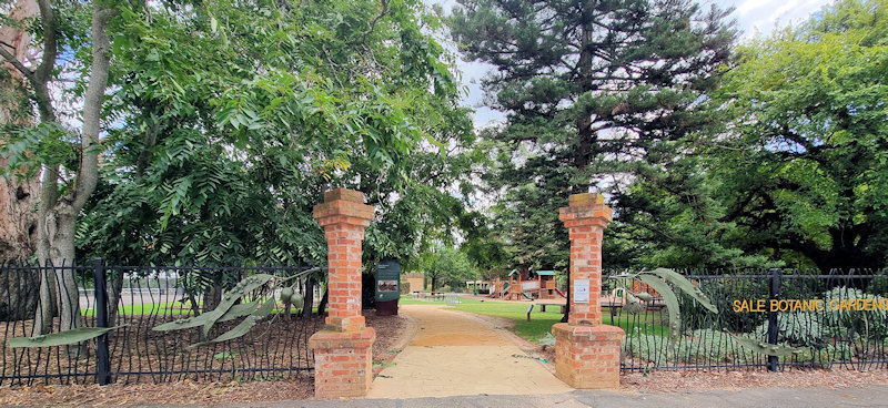
Established in 1860 when approximately 20 hectares of land was set aside the Sale Botanic Gardens are the only colonial era botanic gardens remaining in Gippsland. Unfortunately, during the depressions of the 1890s, the gardens were neglected due to a lack of funds. When Victoria Park opened in 1909 it became council’s main public park… Read more
-
Australian National Botanic Garden
Australian National Botanic Garden Covering many of the plant types found in Australia, the Australian National Botanic Garden in Canberra covers 35 hectares. With paths winding through the garden, you are able to experience many of Australia’s habitats in one place. Getting There We drove to the Garden and parked in the carpark there. As… Read more