Tag: Waterfall
-
Narracan Falls Victoria
Nestled in the Gippsland region of Victoria, Australia, Narracan Falls is a small but accessible waterfall. Located approximately 15 km south of Moe and about 140 km east of Melbourne it’s easy to get to. Parking There is a car park located near the falls, just past a narrow one-lane bridge over Narracan Creek. Although… Read more
-
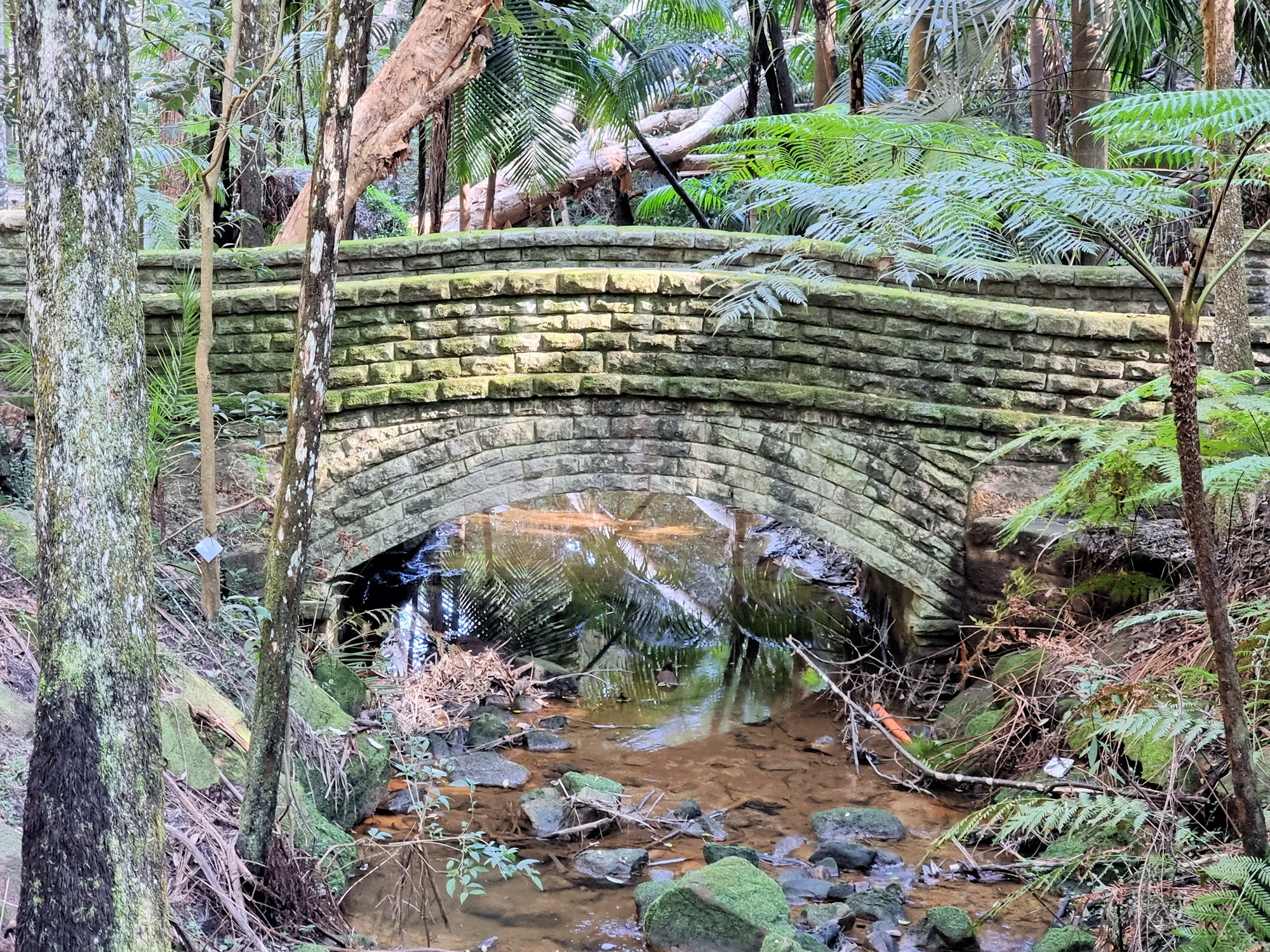
Palona Cave Walk
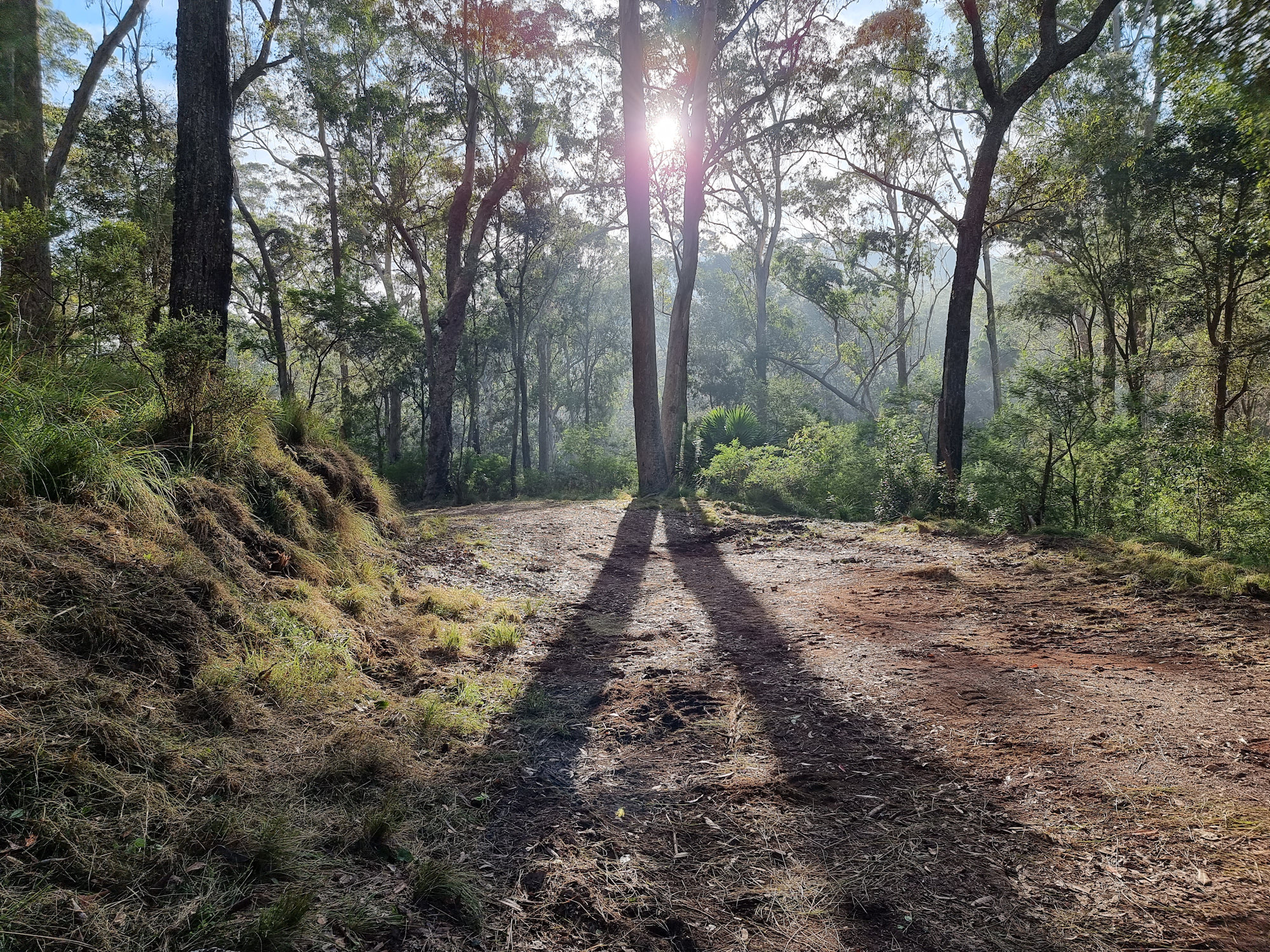
Palona Cave Walk Located in the Royal National Park, near Sydney the Palona Cave Walk is a short and easy bush walk. It takes you through beautiful temperate rainforest to a large limestone cave and a cascading waterfall. Getting There We drove to Royal National Park, arriving just after sunrise, so that we could catch… Read more
-
Cooper Park Bushwalking in the City
Cooper Park Located in Bellevue Hill, Cooper Park covers 15 Ha of bushland in the centre of Sydney’s eastern suburbs. Donated to the Woollahra Council as a park in 1913 by Sir William Cooper the park covers a gully from Victoria Road, Bellevue Hill to Manning Road, Double Bay. With tennis courts and cricket nets… Read more