Glennies Creek Dam Singleton
Recent rain in March 2022 has caused floods along the east coast of Australia, actually the whole summer of 2021/22 has been wet. The resulting damage has been extensive to many communities. Of course, this has followed on from drought, bushfires and low dam levels in previous years. The local Glennies Creek Dam which supplies Singleton dropped to under 35% full at one stage and was back up to 75% in February. The flooding rain has pushed this up to 96% which will be a great relief to everyone in the area, despite the damage caused.
History of Glennies Creek Dam
Due to increasing demand, Glennies Creek was constructed to supplement the Upper Hunter’s water supply from Glenbawn Dam. Glennies Creek Dam is a curved rock-fill embankment wall with a concrete slab on the upstream face. The wall is 535 metres long and 67 metres high.
The dam’s small 233 square kilometre catchment includes the Mount Royal National Park. In comparison, Glenbawn Dam has a catchment of 1,300 square kilometres although it has a capacity of 750GL compared to Glennies’ 283GL.
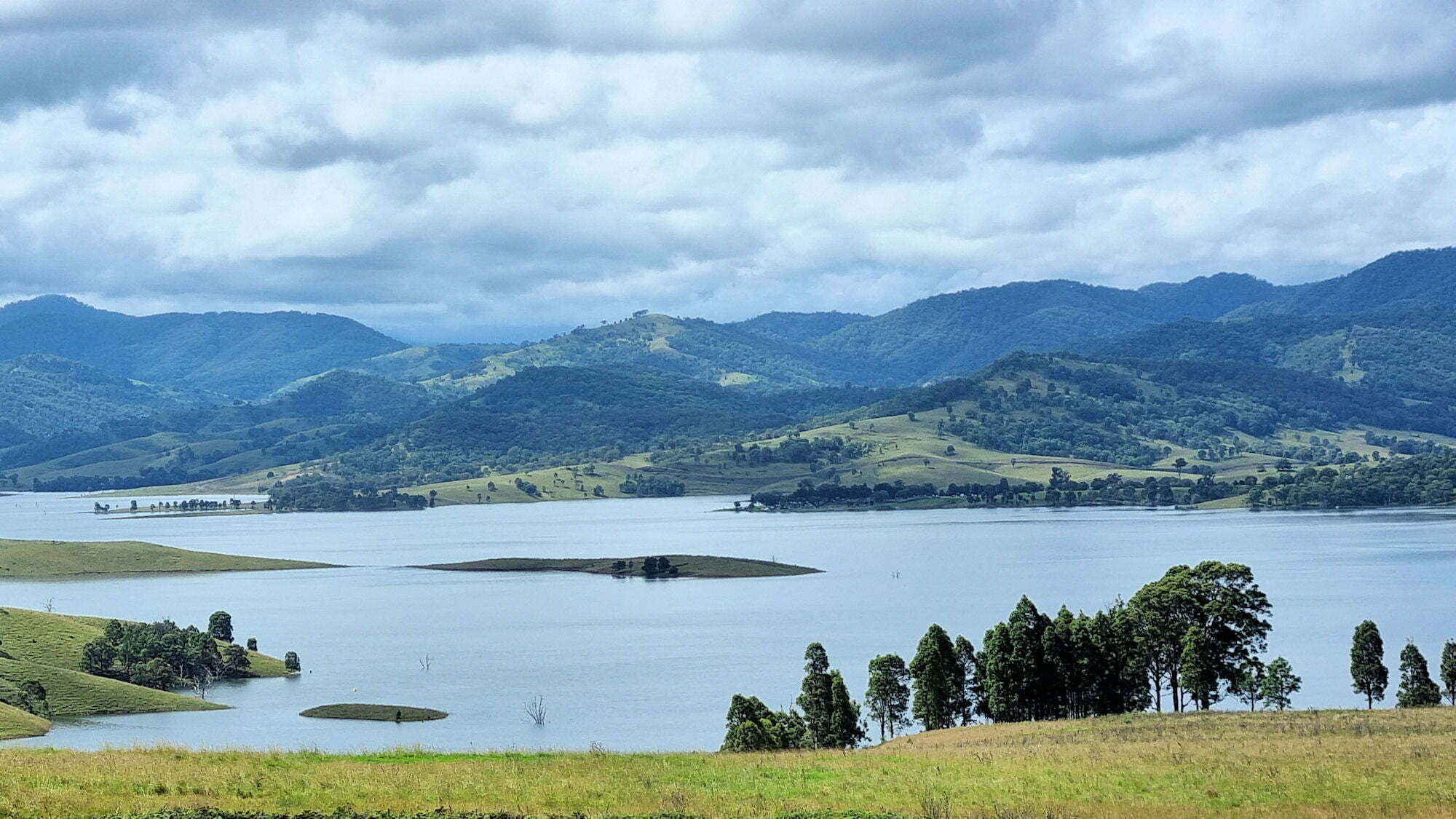
The water stored behind the dam is called Lake St. Claire.
Photos of the dam and lake in March 2022
Located 25 minutes from Singleton in the New South Wales Hunter Valley, Lake St Claire is popular with locals for boating, camping and fishing. Because of its proximity to Singleton it is a great day trip.
The landscape around Singleton is very green for this time of year. Usually, the end of summer sees the landscape looking dull brown and dead . This year however, because of the rain everything is a lush green.
Driving to the dam wall, we parked at the small carpark and went exploring. You are able to walk over the dam wall to the far side of the lake. This is great as you can take pictures from lots of different angles.
Further along the road is a camping ground and boat ramp, which has become very popular as the water level has risen.


Leave a Reply