Tag: Dam
-
Tumut New South Wales Australia
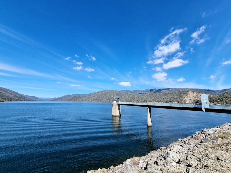
History of Tumut Tumut is a historic town in the Riverina region of New South Wales, nestled at the foothills of the Snowy Mountains. Originally inhabited by the Wiradjuri people, Tumut’s European history began in the early 19th century, with settlement beginning around the 1830s. Its name is derived from an Aboriginal word thought to… Read more
-
Glennies Creek Dam Singleton
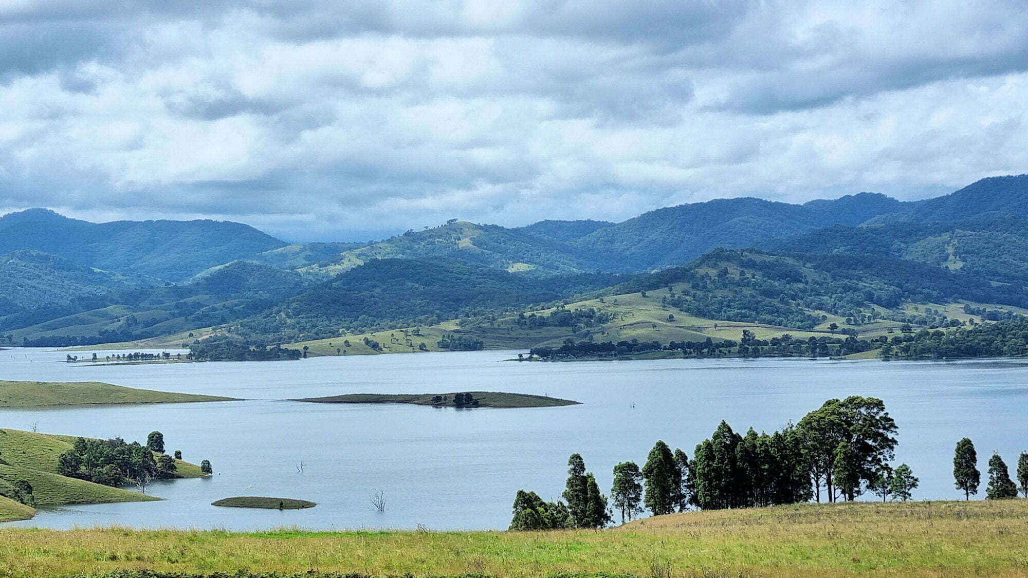
Glennies Creek Dam Singleton Recent rain in March 2022 has caused floods along the east coast of Australia, actually the whole summer of 2021/22 has been wet. The resulting damage has been extensive to many communities. Of course, this has followed on from drought, bushfires and low dam levels in previous years. The local Glennies… Read more
-
Mount Paris Dam Wall Tasmania
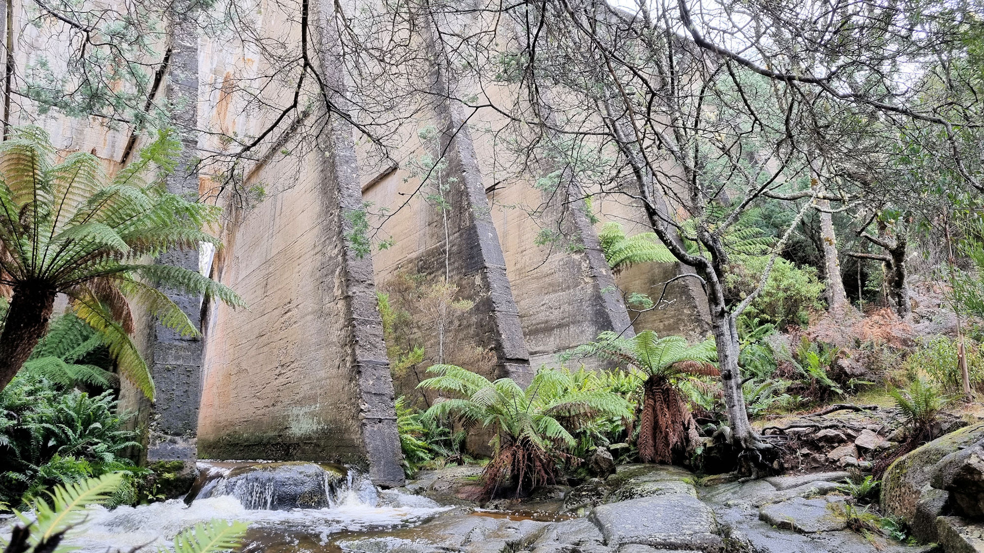
Mount Paris Dam Wall Mount Paris Dam Wall, on the Mt Paris Road, is the only surviving pillar and slab dam in Tasmania. Built across the Cascade River using only shovels and wheelbarrows in 1937, it was originally named the Morning Star Dam. An 11 Km water race connected it with the Mt Paris Mine.… Read more