Tag: australian bush
-
Cape Raoul Track Tasmania
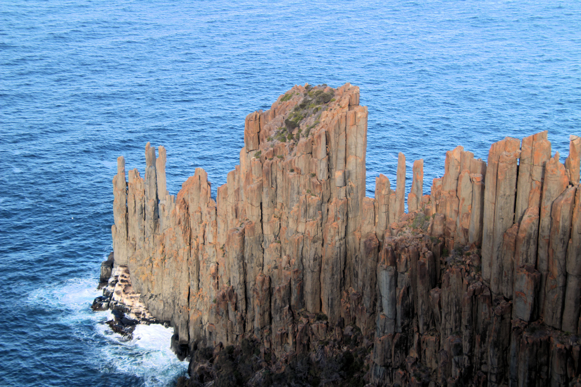
Cape Raoul Track Tasmania Getting There Located in the south-western section of the Tasman Peninsula, the Cape Raoul Track has a large carpark and toilet facilities at the trailhead. There are no facilities on the track, so take all of the food water and spare clothing you will need. Weather in Tasmania changes quickly, so… Read more
-
Stoney Creek Track Strickland State Forest
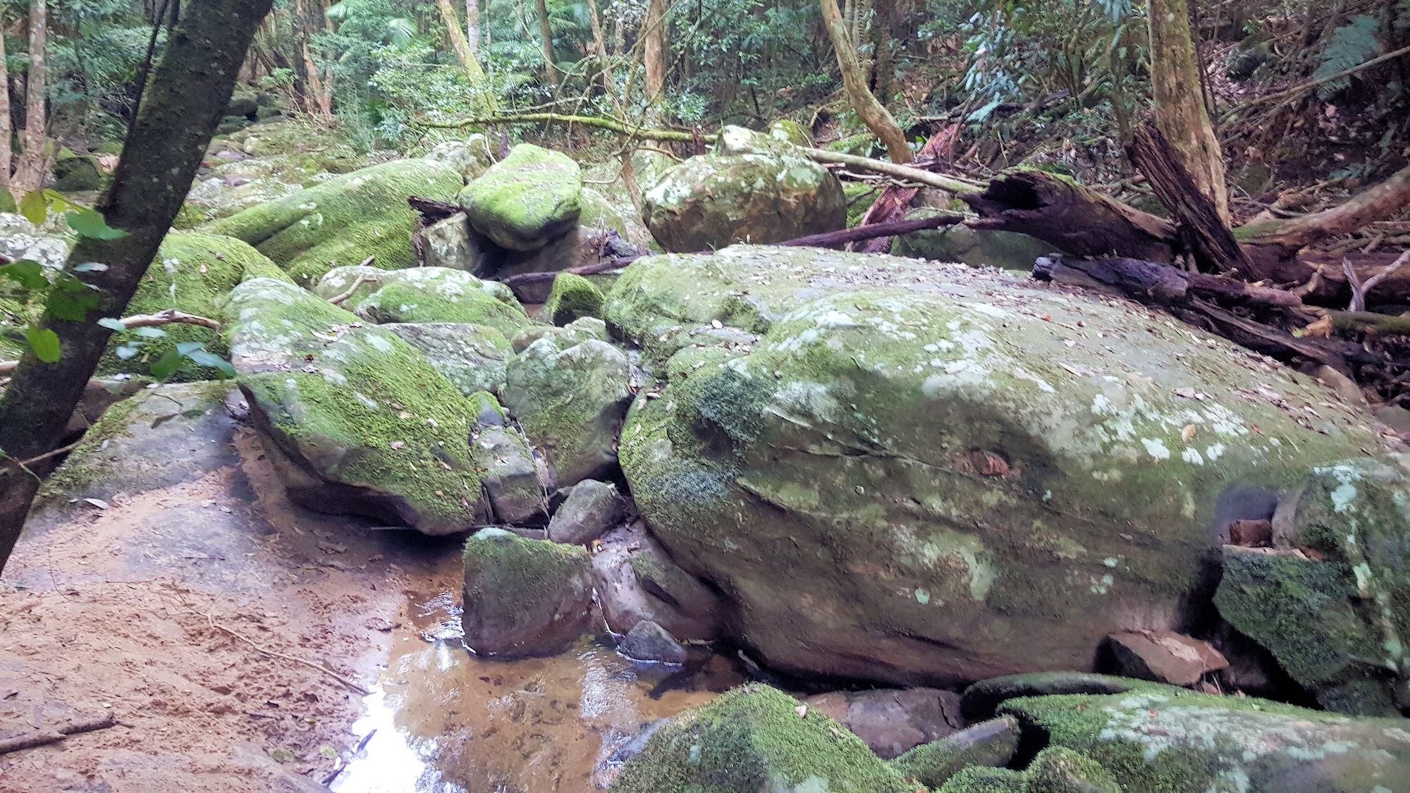
Stoney Creek Track Strickland State Forest Getting There Located in the Strickland State Forest, Stoney Creek Track is a great walk winding its way along Stoney Creek from the upper Banksia picnic area to the lower carpark. Banksia Picnic Area The track starts near the entrance to the Banksia Picnic Area, where a large car… Read more
-
Ridge to Rainforest Track Strickland State Forest
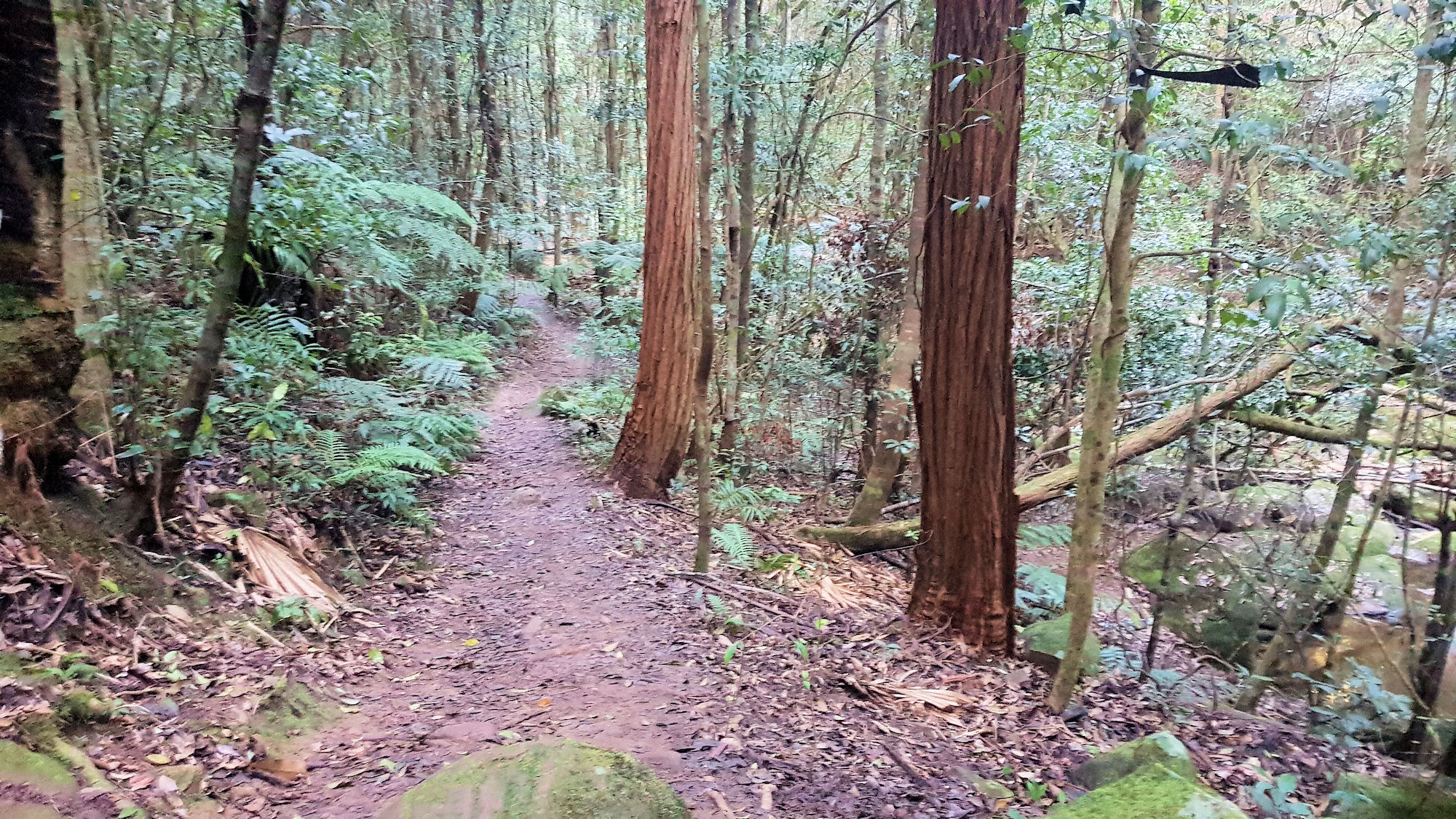
Ridge to Rainforest Track Strickland State Forest Getting There Located in the Strickland State Forest, the Ridge to Rainforest Track is a great walk winding its way through the dry forest along the ridge into the gully rainforest along the creek. Mossy rocks, statuesque trees and a planted grove of Hoop Pine are featured along… Read more