Tag: Fortress
-
Fort Scratchley Newcastle
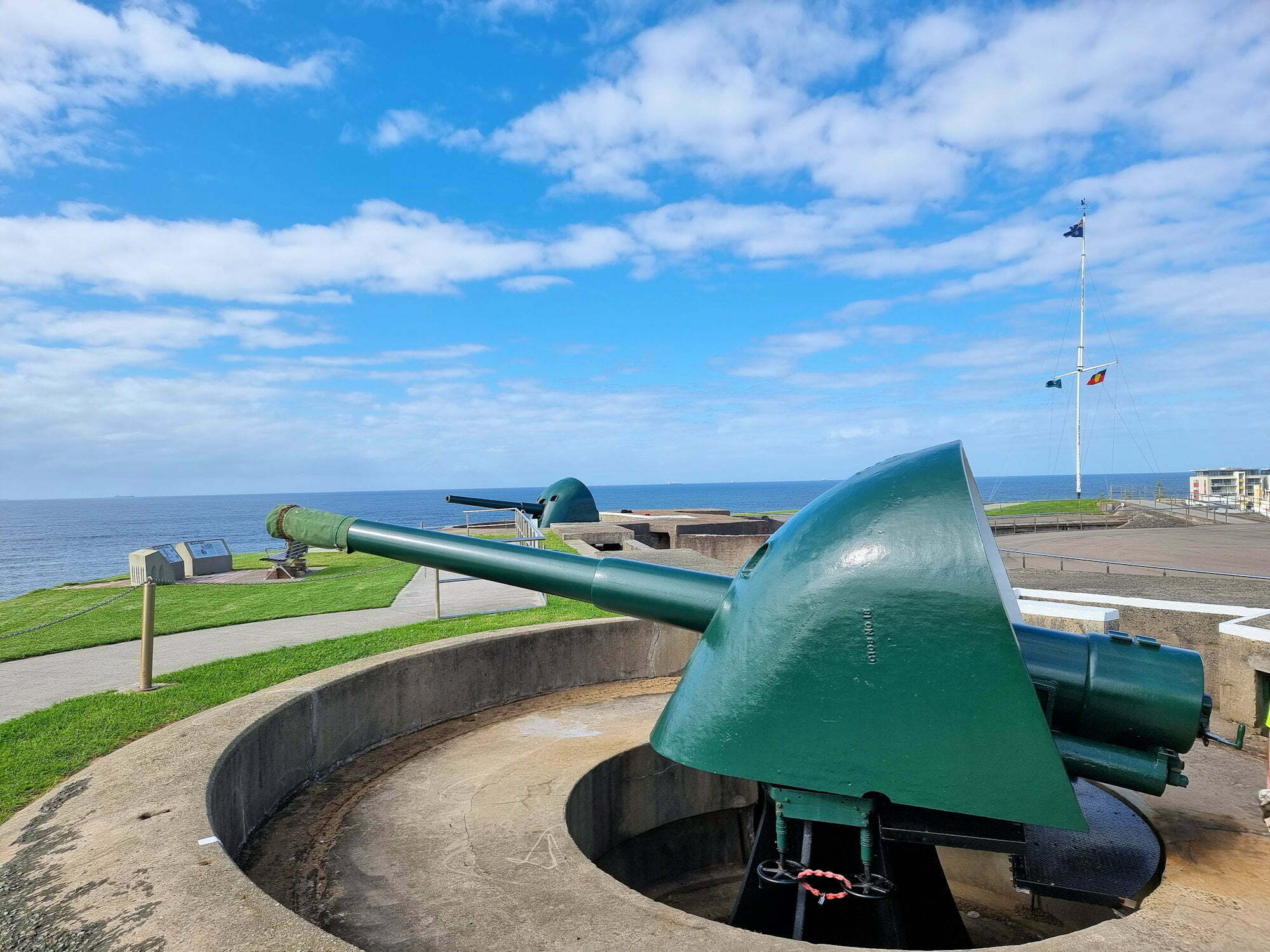
Fort Scratchley Newcastle No longer used by the military, Fort Scratchley is now a memorial to the servicemen and women who served there. During World War Two, the Japanese submarine I-21 attempted to shell Newcastle and the BHP Steel Works. Fortunately most of the shells missed or failed to explode with no-one hurt and only… Read more
-
Cape Banks Botany Bay National Park
Cape Banks Getting There We drove to Cape Banks and parked near the pistol club and helicopter base. This large car park has plenty of space, so parking shouldn’t be a problem. Cape Banks Walking Track The Cape Banks Walking track runs past the Westpac Lifesaver Helicopter Base towards the coast. On the way you… Read more
-
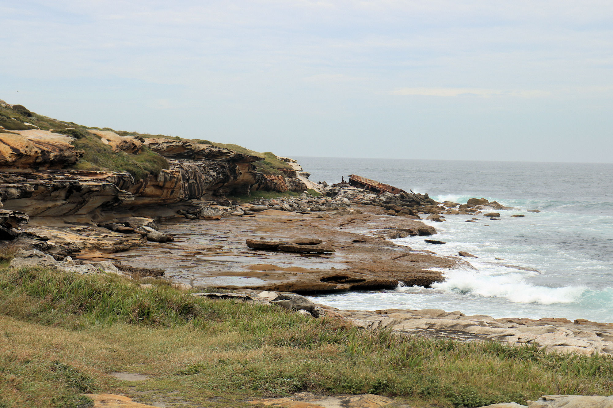
Federation Cliffs Walk Sydney Australia
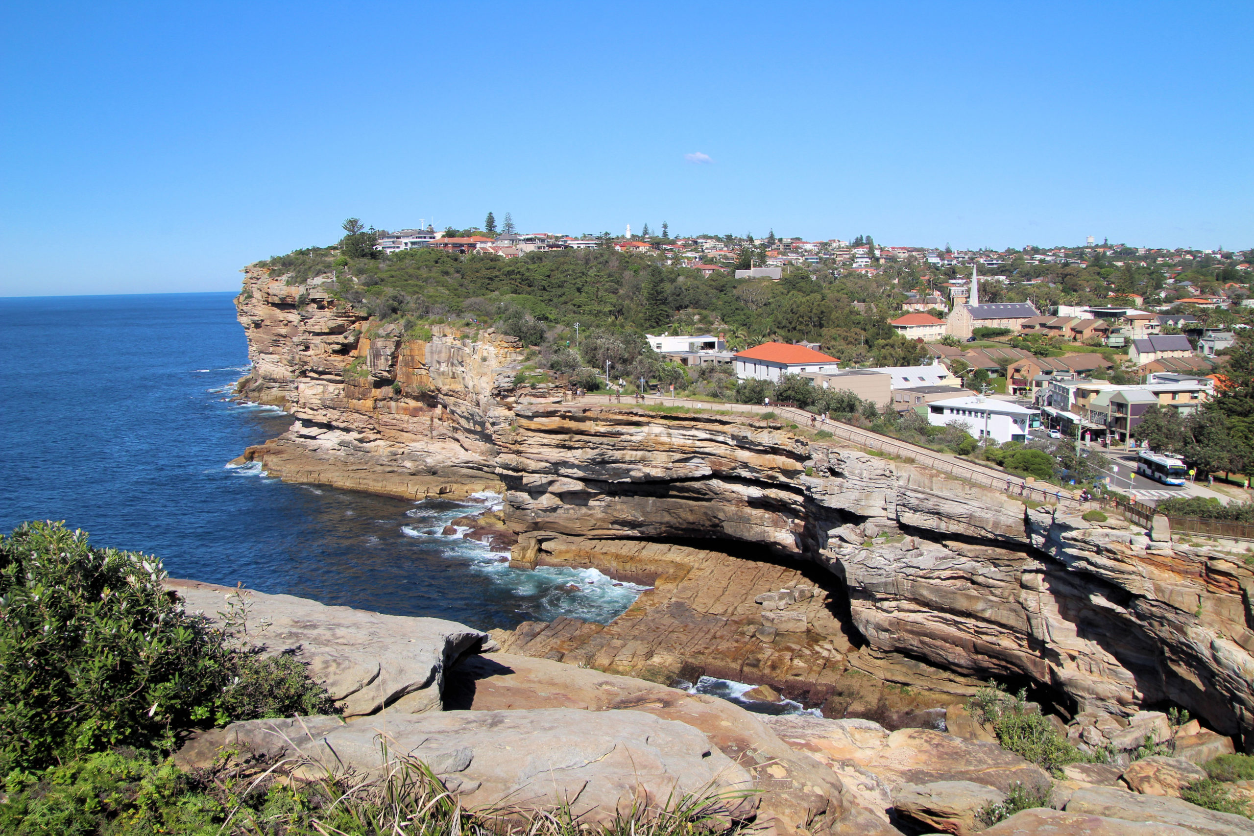
Federation Cliffs Walk The five-kilometer Federation Cliffs Walk offers spectacular coastal views, with sandstone cliffs, a lighthouse and a shipwreck memorial. Getting There We chose to use public transport to the Federation Cliffs Walk, as this meant we could start at one end of the Walk and finish at the other, without having to return… Read more