Tag: Hiking
-
Caves Beach Amazing Beautiful Views
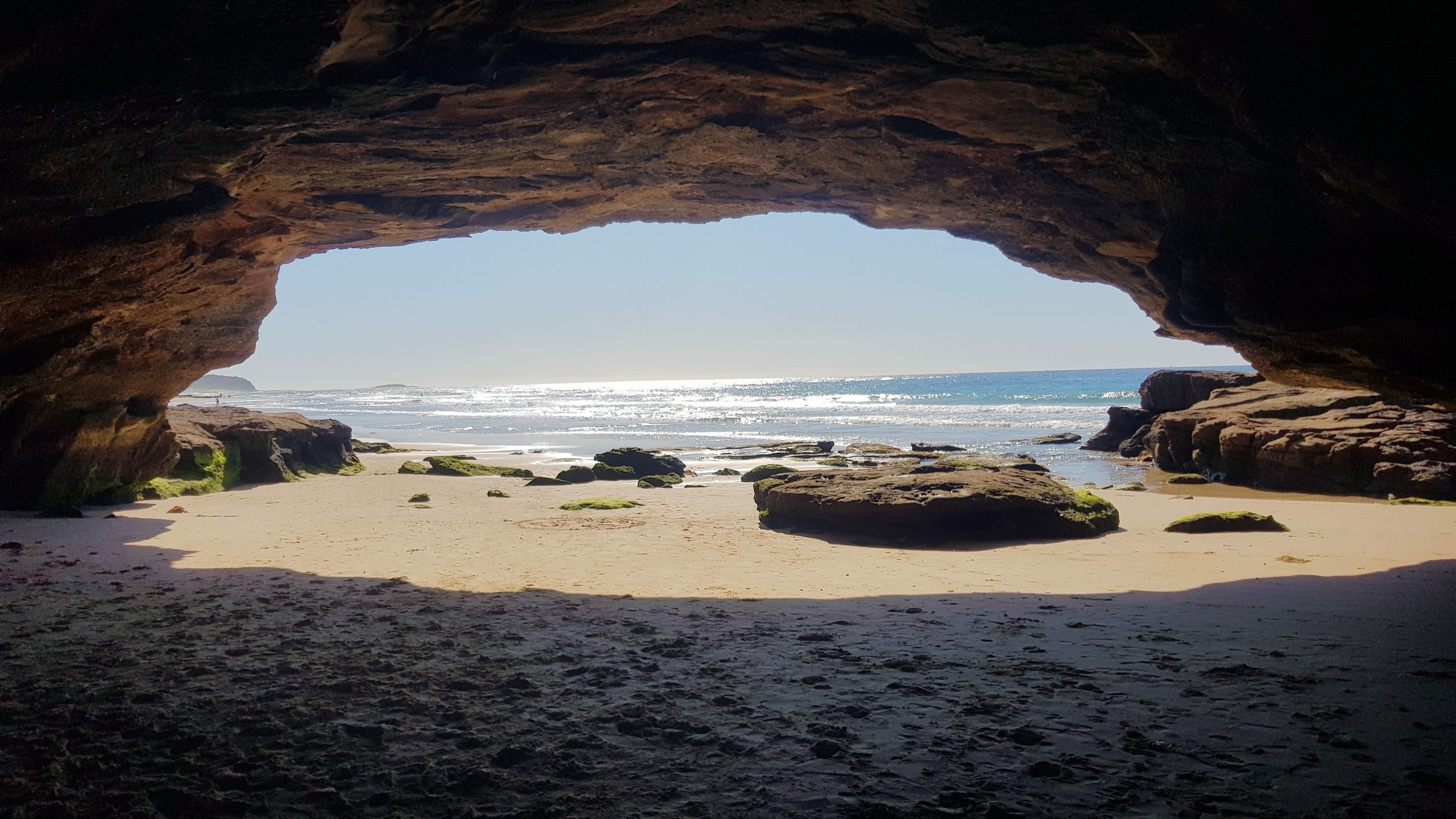
Caves Beach Located only 40 minutes south of Newcastle, Caves Beach is a relaxed southern suburb of Lake Macquarie. Named after the network of sea caves to the south of the beach, it is a great place to relax and explore the coast. If you want to explore the cave, make sure you go at… Read more
-
Depression Era Hornsby Heritage Steps
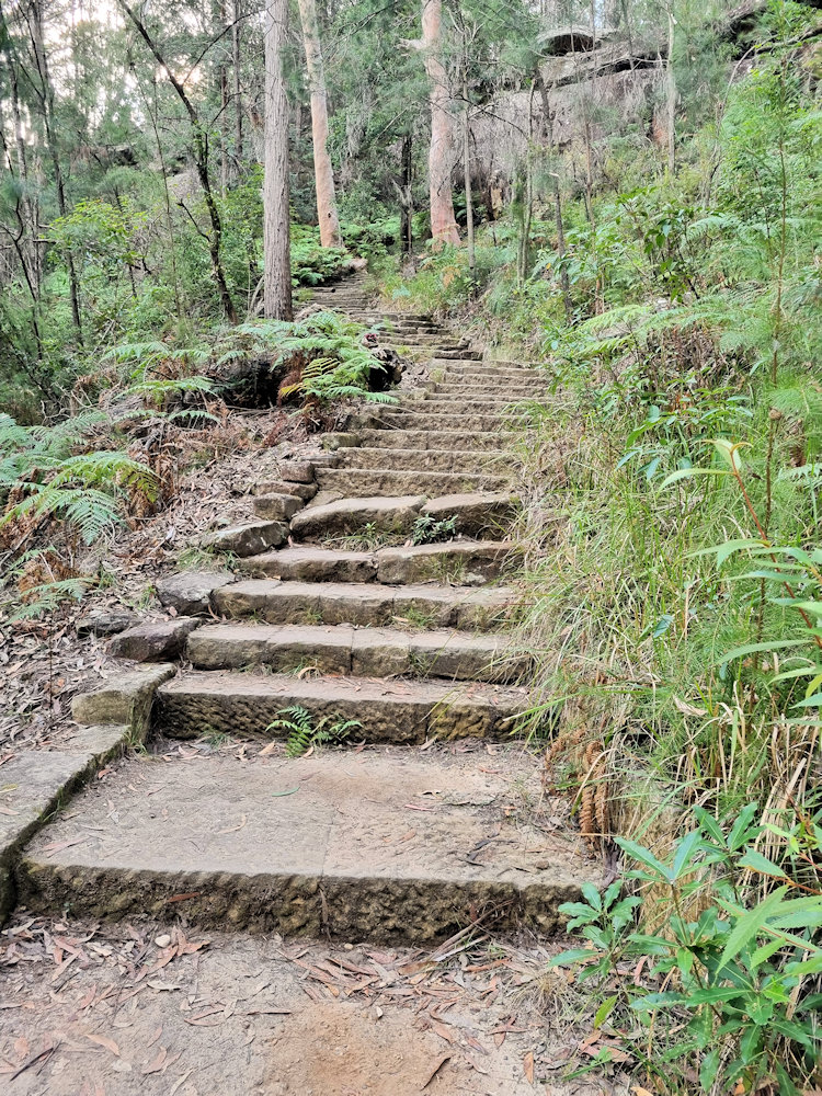
Hornsby Heritage Steps Sydney New South Wales Constructed as part of a program of ‘works for the relief of unemployment’ during the Great Depression the Hornsby Heritage Steps, also known as ‘Depressions Steps’ link the Crusher Precinct to Central Hornsby and Rosemead Road Reserve. Rated a grade 3 walk, the steps are steep, so a… Read more
-
West Head Army Track
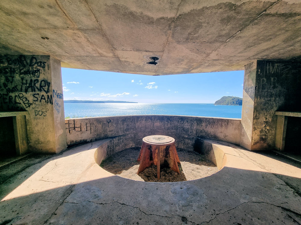
West Head Army Track The West Head Army Track is a short, steep one-way/return bushwalk in the West Head precinct of Ku-ring-gai Chase National Park. It drops from the West Head lookout area down to the remains of a World War II coastal battery and gun emplacements perched on the headland above Broken Bay and… Read more