Tag: Hiking
-
Budgewoi Footbridge Dunkey Island NSW Australia
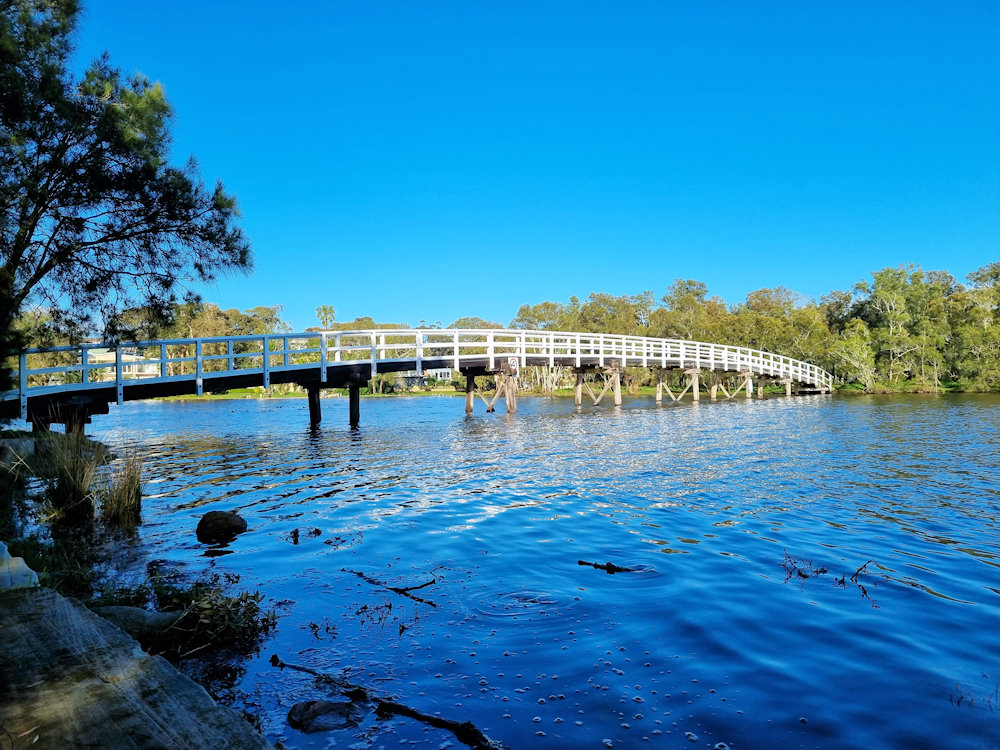
Budgewoi Footbridge To Dunkey Island NSW Australia Crossing the Budgewoi Channel, the Budgewoi Footbridge takes visitors from Mackenzie Reserve to Dunkey Island. Interestingly, this island is not natural, as it was created by dredging the channel to improve water flow for the nearby Munmorah Power Station. How to Get There Located 90 minutes north of… Read more
-
Kincumber to Davistown Foreshore Walk
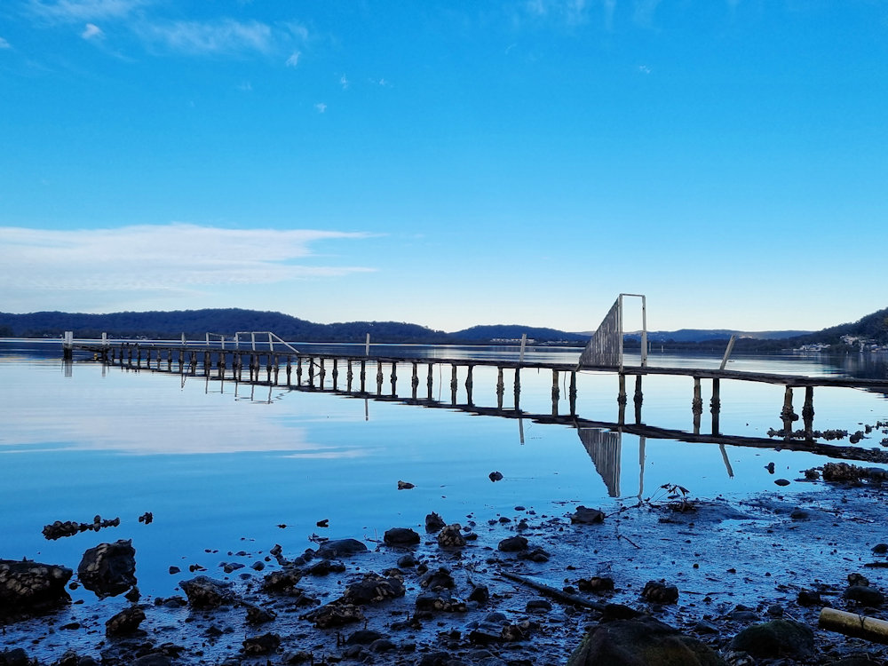
Kincumber to Davistown Foreshore Walk Situated on the Central coast, 90 minutes north of Sydney the Kincumber to Davistown Foreshore Walk, is a scenic walk along the Kincumber Broadwater. At around 3km one-way, the return walk takes around 60 to 90 minutes, depending on how fast you walk. As there are some good views to… Read more
-
Adelong Falls Gold Mill Ruins
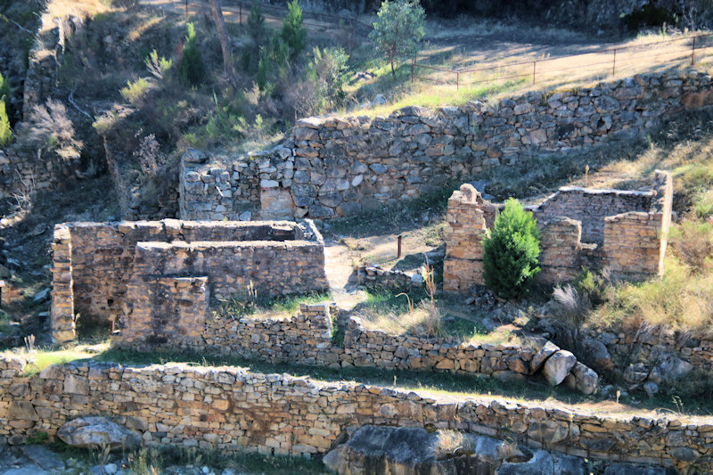
The Adelong Falls Gold Mill Ruins, located 1.5 kilometres from Adelong and just over 20 kilometres from Tumut in New South Wales, are a reminder of Australia’s gold mining heritage. This state-listed heritage site offers a glimpse into the 19th-century gold rush era and the ingenuity of early mining operations. Historical Overview Gold was first… Read more