Tag: Bushwalking
-
Caves Beach Amazing Beautiful Views
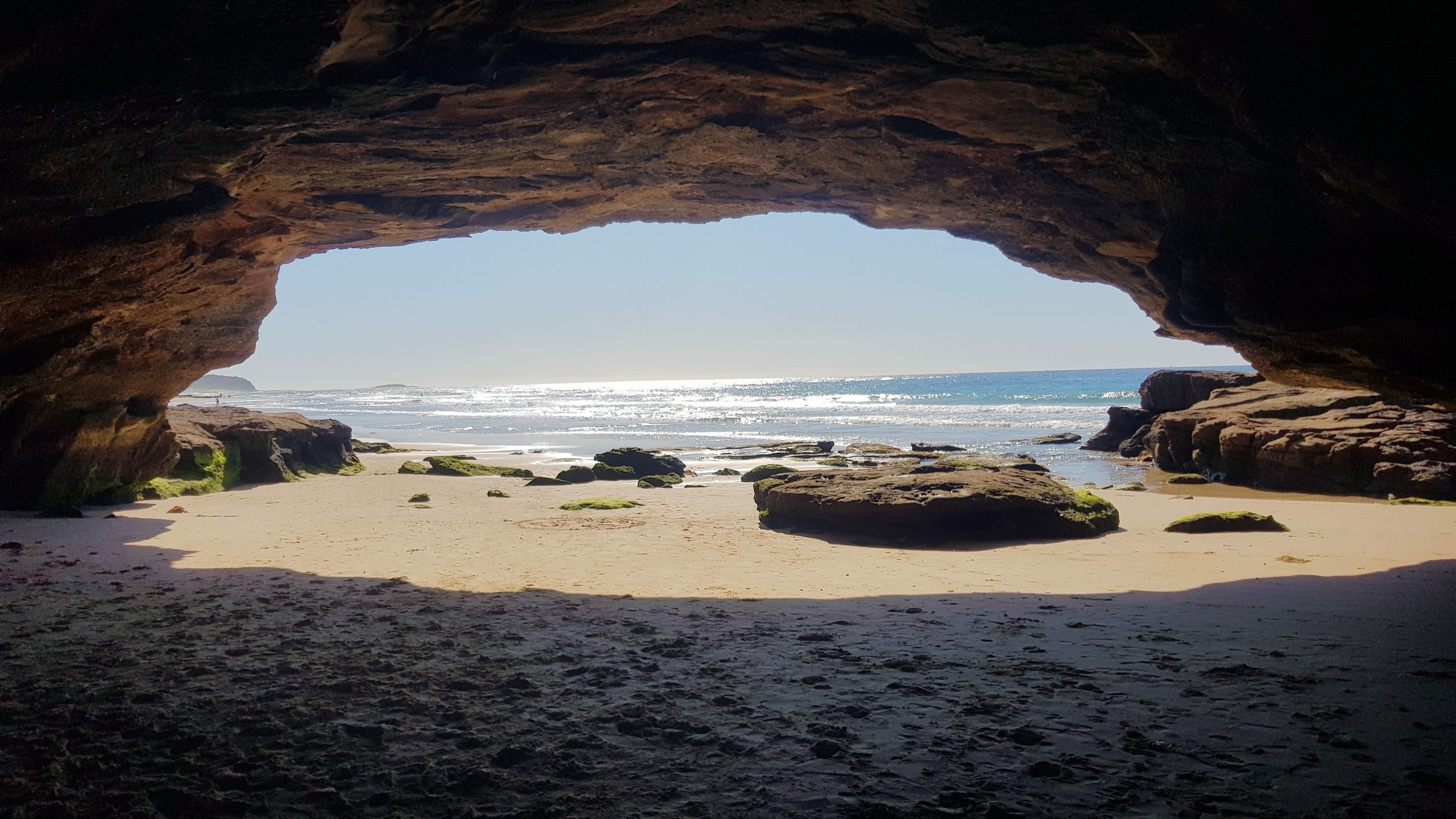
Caves Beach Located only 40 minutes south of Newcastle, Caves Beach is a relaxed southern suburb of Lake Macquarie. Named after the network of sea caves to the south of the beach, it is a great place to relax and explore the coast. If you want to explore the cave, make sure you go at… Read more
-
Edward Hunter Heritage Bush Reserve Moe Victoria
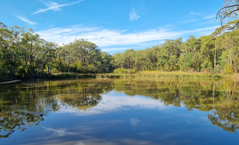
Edward Hunter Heritage Bush Reserve Edward Hunter Heritage Bush Reserve is a 58 hectare bushland park located in Moe, Gippsland, about 140km east of Melbourne in Victoria. The reserve serves as one of the largest patches of native remnant vegetation in the foothills of the Strzelecki Ranges in the Latrobe Valley. It is managed by… Read more
-
Hummocks Walking Track Lakes Entrance Victoria
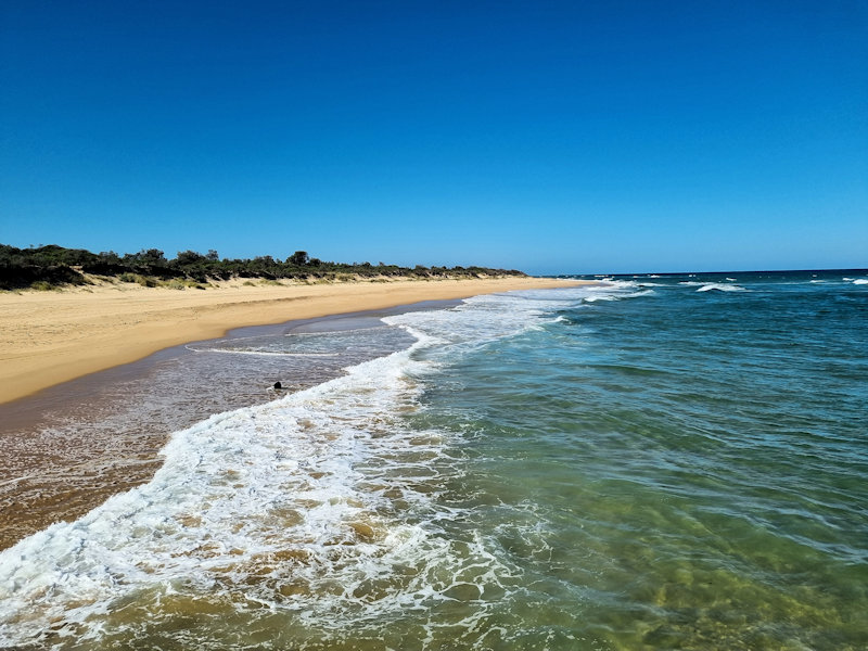
The Hummocks Walking Track is a scenic bushwalk in Lakes Entrance, East Gippsland, Victoria. It winds through coastal forest and low hills known as “the hummocks” offering spectacular views over the ocean, beach, and Lakes Entrance township. It’s a perfect short-to-medium walk for visitors wanting a blend of native bush, beach, and ocean views. We… Read more